


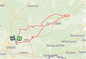


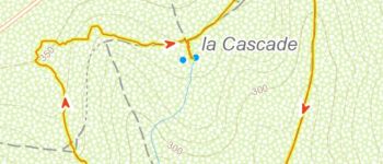


29 km | 35 km-effort

Utilisateur


Application GPS de randonnée GRATUITE
 SityTrail
IGN / Instituts géographiques
SityTrail World
Le monde est à vous
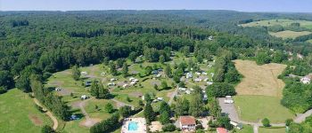
Randonnée V.T.T. de 35 km à découvrir à Wallonie, Luxembourg, Virton. Cette randonnée est proposée par Pascal L.
Départ/Retour - Virton (Pierrard)
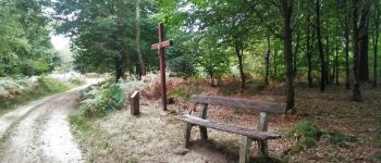
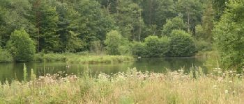
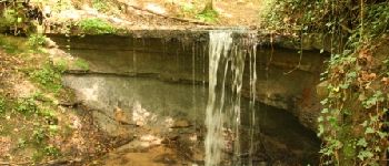
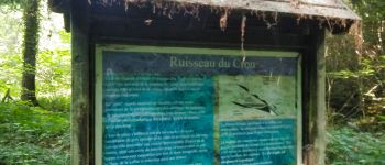
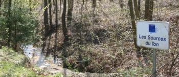
Endroits de passage : Laclaireau et son château, Hamawé, Saint-Léger, Châtillon jusqu'aux sources du Ton, TODO ...
Vidéos:
1. TODO
2.
(2021.04.18)
Ref.
- https://fr.wikipedia.org/wiki/Ton_(rivière_belge)
- http://environnement.wallonie.be/cartosig/cartehydrogeo/#


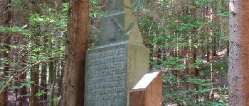
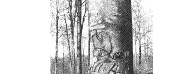
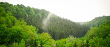
54 photos au total. Cliquez sur une photo pour les afficher toutes dans la galerie.

Marche

V.T.T.

Marche

A pied

Marche

Marche

V.T.T.

V.T.T.

V.T.T.