


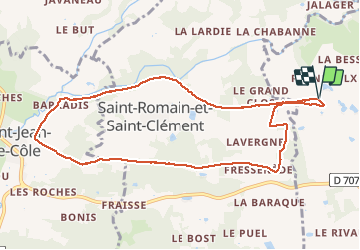

12 km | 14,4 km-effort


Utilisateur


Application GPS de randonnée GRATUITE
 SityTrail
IGN / Instituts géographiques
SityTrail World
Le monde est à vous
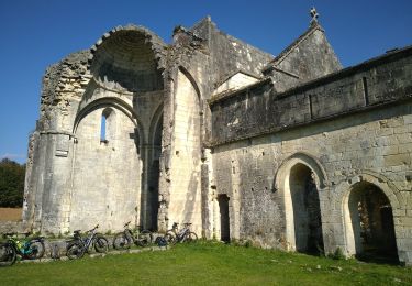
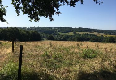
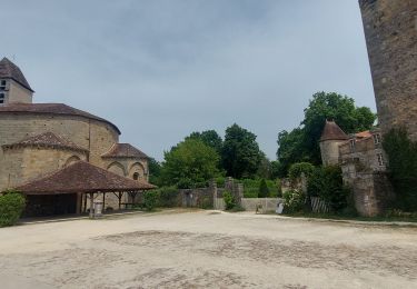
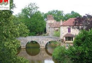
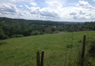
Randonnée Marche de 9,8 km à découvrir à Nouvelle-Aquitaine, Dordogne, Thiviers. Cette randonnée est proposée par Patricew.
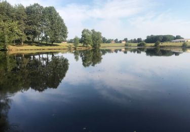
belle randonnée de 10 km assez facile
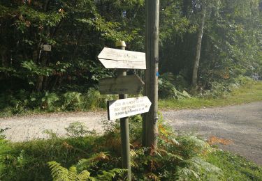
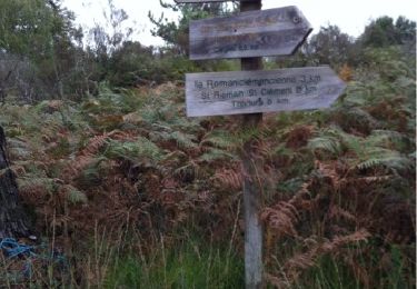
Départ voie verte, allez jusqu'à Saint Jean de Cole par voie verte, suivre le parcours
Pas de problème particulier
Marche
V.T.T.
Marche
Marche
Marche
Marche
Marche
Marche


sport