


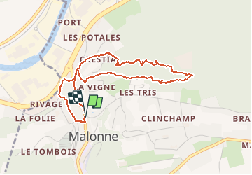


19,9 km | 25 km-effort


Utilisateur


Application GPS de randonnée GRATUITE
 SityTrail
IGN / Instituts géographiques
SityTrail World
Le monde est à vous
Randonnée Marche de 4 km à découvrir à Wallonie, Namur, Namur. Cette randonnée est proposée par Alain Steinier.
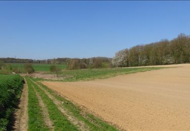
Départ de la place du "fond de Malonne" suivi d'un court passage dans le vieux Malonne d’origine. Et passage dans le Bois de la Vecquée où vous pourriez entendre et/ou voir le PIC NOIR.
Marche

Marche

Marche

Marche
Marche

Marche
Marche
Marche

Vélo