


11,8 km | 16,1 km-effort


Utilisateur


Application GPS de randonnée GRATUITE
 SityTrail
IGN / Instituts géographiques
SityTrail World
Le monde est à vous
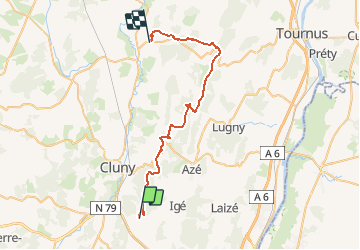
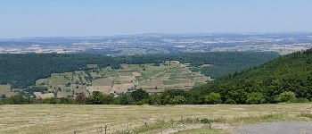
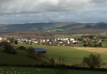
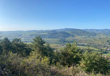
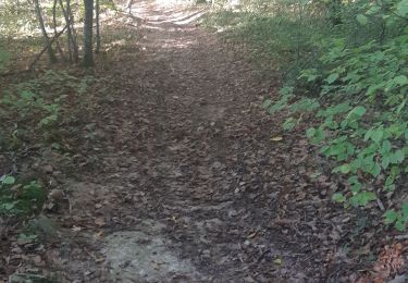
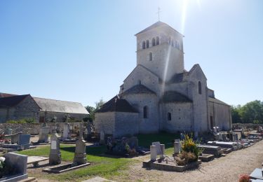
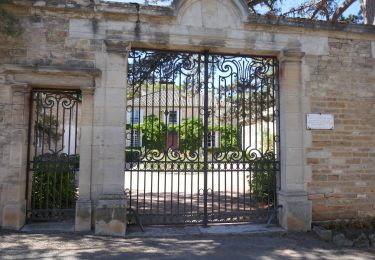
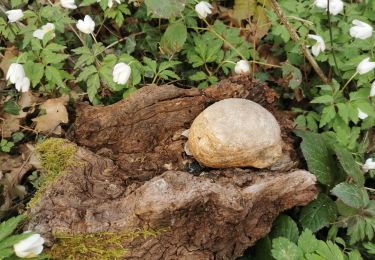
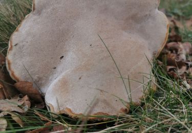
Randonnée Randonnée équestre de 38 km à découvrir à Bourgogne-Franche-Comté, Saône-et-Loire, Berzé-le-Châtel. Cette randonnée est proposée par lagrange71.
-Berze-
-Donzy le Pertuis
-Notre-Dame des Roches
- Blanot
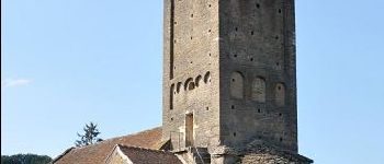
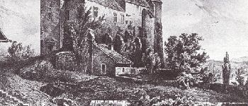
-Brancion
- Chapelle sous Brancion
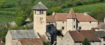
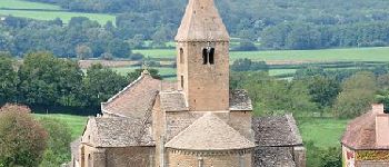
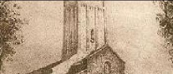
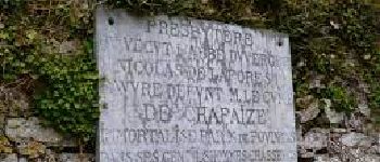
-Chapaize
- Uxelles


Marche

A pied

sport
Marche

Marche
Vélo électrique
Vélo électrique
Marche
Marche