


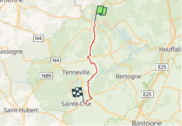

23 km | 34 km-effort

Utilisateur


Application GPS de randonnée GRATUITE
 SityTrail
IGN / Instituts géographiques
SityTrail World
Le monde est à vous
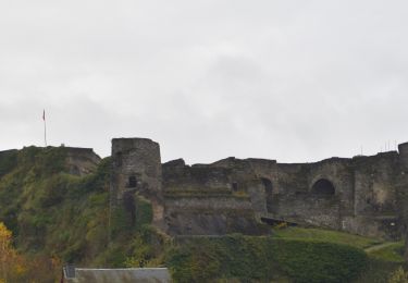
Randonnée Marche de 21 km à découvrir à Wallonie, Luxembourg, La Roche-en-Ardenne. Cette randonnée est proposée par beautrix.
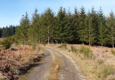
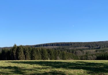
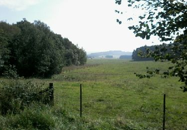
Départ à travers l'Ardenne. Paysages très ouverts pour cette première étape sans grande difficulté. Possibilité de camping à Sprimont.


Marche
Marche
Marche
Marche

Marche
Marche
Marche
Marche
Marche