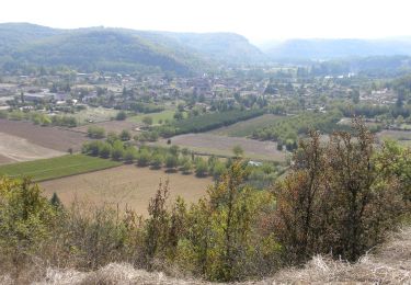
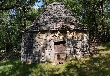
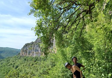
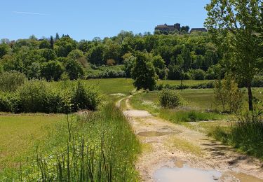
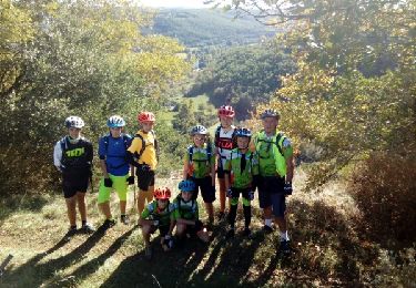
Randonnée V.T.T. Lissac-et-Mouret - Belinac en famille VTT - Photo

Belinac en famille VTT

 eric46
eric46

Utilisateur

© OpenStreetMap contributors
Longueur
Longueur
29 km
Altitude max
Altitude max
362 m
Dénivelé positif
Dénivelé positif
435 m
Km-Effort
Km-Effort  
35 km
Altitude min
Altitude min
246 m
Dénivelé négatif
Dénivelé négatif
432 m
Boucle
Boucle
Oui
Date de création :
2021-04-05 11:56:48.0
Dernière modification :
2021-04-05 14:48:19.429

(0 Avis)

V.T.T.
V.T.T.
2h50
Difficulté : Difficile

Scannez ce code QR pour ouvrir la randonnée dans l'application SityTrail

Application GPS de randonnée GRATUITE

Logo SityTrail SityTrail

IGN / Instituts géographiques

Télécharger SityTrail sur l'App Store Télécharger SityTrail sur Google Play

Logo SityTrail SityTrail World

Le monde est à vous

Télécharger SityTrail sur l'App Store Télécharger SityTrail sur Google Play Télécharger SityTrail sur Huawei AppGallery

À propos

Randonnée V.T.T. de 29 km à découvrir à Occitanie, Lot, Lissac-et-Mouret. Cette randonnée est proposée par eric46.

Profil altimétrique

Localisation

Pays :
France
Région :
Occitanie
Département/Province :
Lot
Commune :
Lissac-et-Mouret
Localité :
Unknown
Départ:(Dec)
Départ:(UTM)
418062 ; 4940067 (31T) N.

Randonnées à proximité

Randonnée Marche Faycelles - La vallée du Célé - Photo
Marche
GUIDE
Roger Philippe Wallez

Marche

Très difficile
Faycelles, Occitanie, Lot, France
111 km | 153 km-effort
35h 59min
Non
Randonnée Marche Faycelles - Étape Faycelle St Sulpice - Photo
Marche
GUIDE
nadinebondoux

Marche

Difficile
Faycelles, Occitanie, Lot, France
28 km | 37 km-effort
7h 46min
Non
Randonnée Marche Faycelles - Mon Compostelle sixième étape - Photo
Marche
Ardeiserois

Marche

Difficile
Faycelles, Occitanie, Lot, France
43 km | 55 km-effort
9h 40min
Non
Randonnée Cheval Lissac-et-Mouret - La Cazelle-Camburat-Mouret-La Cazelle - Photo
Cheval
DamDam71

Cheval

Facile
(1)
Lissac-et-Mouret, Occitanie, Lot, France
13,9 km | 17,5 km-effort
2h 43min
Oui
Randonnée V.T.T. Corn - beduer crayssac - Photo
V.T.T.
sebcar

V.T.T.

Facile
Corn, Occitanie, Lot, France
15,7 km | 21 km-effort
1h 54min
Oui
Randonnée V.T.T. Faycelles - figeac cassagnole  st cirq la popie - Photo
V.T.T.
lablaquiere

V.T.T.

Moyen
Faycelles, Occitanie, Lot, France
68 km | 89 km-effort
9h 21min
Non
Randonnée Marche Faycelles - Faycelles StEulalie J1+ - Photo
Marche
kephas

Marche

Facile
Faycelles, Occitanie, Lot, France
18,4 km | 23 km-effort
7h 25min
Non
Randonnée V.T.T. Béduer - Beduer Cirque de Bons - Photo
V.T.T.
goutal

V.T.T.

Facile
Béduer, Occitanie, Lot, France
22 km | 28 km-effort
2h 50min
Oui
Randonnée Marche Figeac - J8_Figeac - La Chapelle Marival (Voie de Rocamadour) - Photo
Marche
MAD-CVW

Marche

Très difficile
Figeac, Occitanie, Lot, France
24 km | 33 km-effort
7h 26min
Non


Fermer
Mes abonnements