


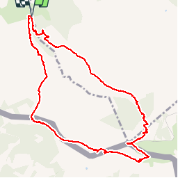

18,8 km | 27 km-effort

Utilisateur


Application GPS de randonnée GRATUITE
 SityTrail
IGN / Instituts géographiques
SityTrail World
Le monde est à vous
Randonnée Marche de 11,8 km à découvrir à Nouvelle-Aquitaine, Pyrénées-Atlantiques, Ascain. Cette randonnée est proposée par Axelloceane.
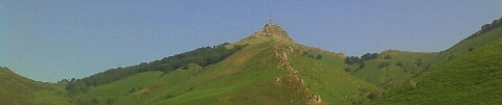
Départ du lieu dit Manttobaita en prenant le GR 10.Laisser le GR 10 sur votre gauche pour atteindre le sommet de La Rhune.Descente par le côté espagnole et ensuite en retrouve le GR 10 pour revenir au point de départ.


Marche

Marche

Marche

Marche

Marche

V.T.T.
Marche
Marche
Marche