11,8 km | 12,5 km-effort
lierre
Zinneke
Utilisateur
Longueur
24 km
Altitude max
18 m
Dénivelé positif
126 m
Km-Effort
26 km
Altitude min
-1 m
Dénivelé négatif
130 m
Boucle
Non
Date de création :
2021-04-03 14:04:30.816
Dernière modification :
2021-04-03 16:40:26.706
43m
Difficulté : Moyen
Application GPS de randonnée GRATUITE
À propos
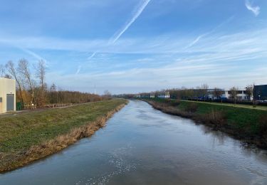
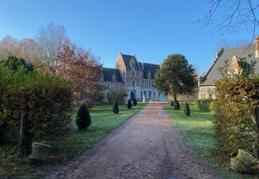
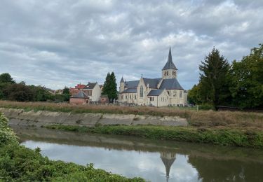
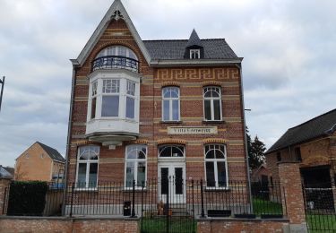
Randonnée Vélo de route de 24 km à découvrir à Flandre, Brabant flamand, Steenockerzeel. Cette randonnée est proposée par Zinneke .
Localisation
Pays :
Belgique
Région :
Flandre
Département/Province :
Brabant flamand
Commune :
Steenockerzeel
Localité :
Perk
Départ:(Dec)
Départ:(UTM)
605360 ; 5646013 (31U) N.
Commentaires
Randonnées à proximité
Vilvoorde 19,4 km
Marche
Facile
Vilvorde,
Flandre,
Brabant flamand,
Belgique
19,5 km | 21 km-effort
4h 46min
Oui
Weerde Eppegem Zemst - 8 km RT
Marche
Très facile
(1)
Zemst,
Flandre,
Brabant flamand,
Belgique
8,2 km | 8,7 km-effort
Inconnu
Oui
Kampenhout door witllofland - 10 km RT
Marche
Très facile
(1)
Kampenhout,
Flandre,
Brabant flamand,
Belgique
10,4 km | 11 km-effort
Inconnu
Oui
S-GR Dijleland : Eppegem - Veltem
Marche
Moyen
Zemst,
Flandre,
Brabant flamand,
Belgique
23 km | 25 km-effort
5h 41min
Non
S-GR Groene Gordel: Eppegem - Mollem
Marche
Moyen
Zemst,
Flandre,
Brabant flamand,
Belgique
27 km | 30 km-effort
6h 51min
Non
Natuur-rijk Elewijt
A pied
Facile
Zemst,
Flandre,
Brabant flamand,
Belgique
10,6 km | 11,5 km-effort
2h 36min
Oui
Trage Wegen
A pied
Facile
Vilvorde,
Flandre,
Brabant flamand,
Belgique
4,9 km | 5,2 km-effort
1h 11min
Non
5 km looproute
A pied
Facile
Zemst,
Flandre,
Brabant flamand,
Belgique
5 km | 5,5 km-effort
1h 15min
Oui