


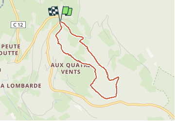


6,3 km | 8,9 km-effort


Utilisateur


Application GPS de randonnée GRATUITE
 SityTrail
IGN / Instituts géographiques
SityTrail World
Le monde est à vous
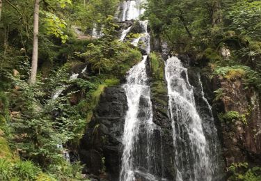
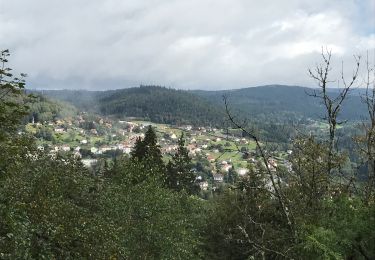
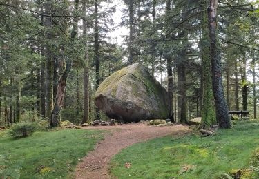
Randonnée Marche de 3,2 km à découvrir à Grand Est, Vosges, Le Tholy. Cette randonnée est proposée par surceneux.
DEPART ECOLE BOUVACOTE
SUIVRE LE CERCLE BLEU

Marche

Marche
Randonnée équestre
Randonnée équestre
Randonnée équestre
Marche
Marche
Marche