


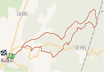

16,9 km | 24 km-effort


Utilisateur


Application GPS de randonnée GRATUITE
 SityTrail
IGN / Instituts géographiques
SityTrail World
Le monde est à vous
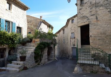
Randonnée Marche de 14,2 km à découvrir à Occitanie, Gard, Barjac. Cette randonnée est proposée par MG3.
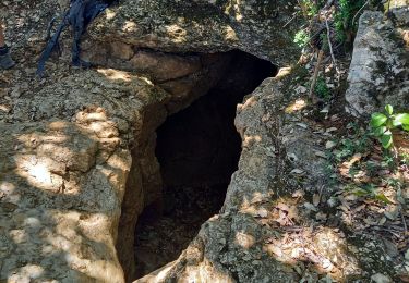
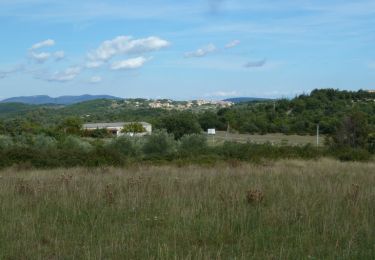
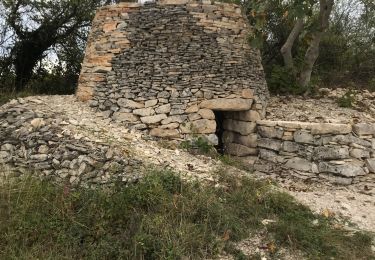
Belle ballade sur les sentiers, entre dolmens et capitelles, autour de Barjac est beaucoup sous les chênes sans vision lointaine. déçu.
Marche

Marche
A pied

Marche
Marche
Marche

V.T.T.

Marche