


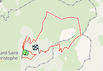

13,1 km | 27 km-effort


Utilisateur


Application GPS de randonnée GRATUITE
 SityTrail
IGN / Instituts géographiques
SityTrail World
Le monde est à vous
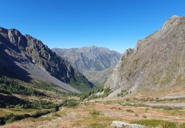
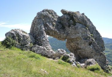
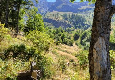
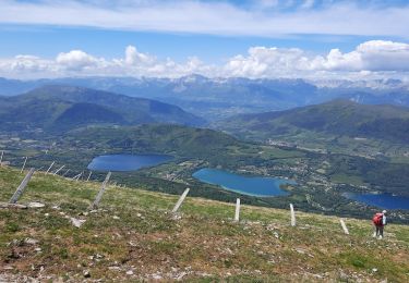
Randonnée Marche de 13,3 km à découvrir à Auvergne-Rhône-Alpes, Isère, Villard-Saint-Christophe. Cette randonnée est proposée par cazycricri.
28/03/2021
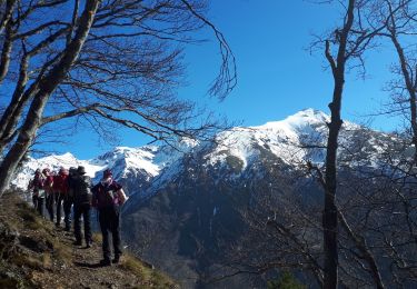
Enneigée sur 3/4 du parcours, peu de monde, grand soleil, sans les raquettes ni les guêtres.
Marche

Marche
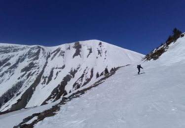
Ski de randonnée
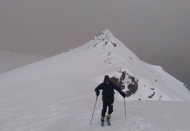
Ski de randonnée
Marche

V.T.T.
Marche
Marche
Marche