


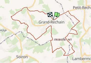

13,4 km | 17,5 km-effort

Utilisateur GUIDE


Application GPS de randonnée GRATUITE
 SityTrail
IGN / Instituts géographiques
SityTrail World
Le monde est à vous
Randonnée Marche de 12,8 km à découvrir à Wallonie, Liège, Herve. Cette randonnée est proposée par mumu.larandonneuse.
Randonnée à travers le Pays de Herve, beaucoup de prairies et chemins.
📲 Gpx pris sur www.wandelgidszuidlimburg.com n°1421.
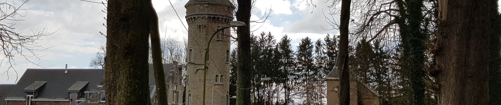
📌 Parking devant l'église


Marche


Marche

Marche

Marche

Marche

Marche

Marche

Marche
Très agréable promenade champêtre !
⭐⭐⭐ Beau parcours avec beaucoup de prairies.