


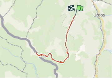


16,9 km | 30 km-effort

Utilisateur


Application GPS de randonnée GRATUITE
 SityTrail
IGN / Instituts géographiques
SityTrail World
Le monde est à vous
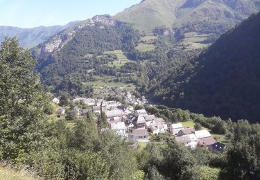
Randonnée Marche de 17,1 km à découvrir à Nouvelle-Aquitaine, Pyrénées-Atlantiques, Borce. Cette randonnée est proposée par neoroll44.
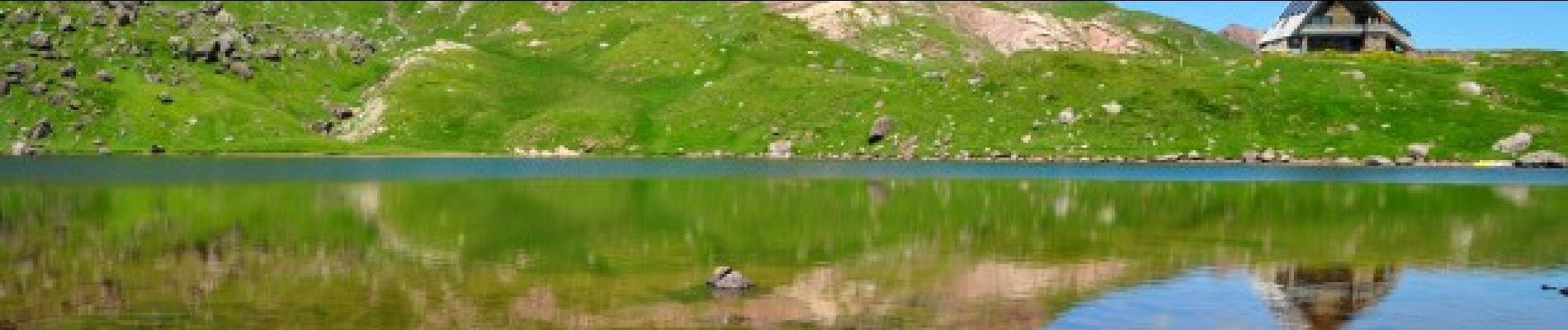
Le lac et le refuge d’Arlet (1986m) est tout à la fois un but pour les marcheurs et une escale pour les grands randonneurs suivant la HRP.


Raquettes à neige

Marche

Marche
A pied
A pied
A pied
A pied
A pied
A pied