


13,7 km | 27 km-effort

Utilisateur


Application GPS de randonnée GRATUITE
 SityTrail
IGN / Instituts géographiques
SityTrail World
Le monde est à vous
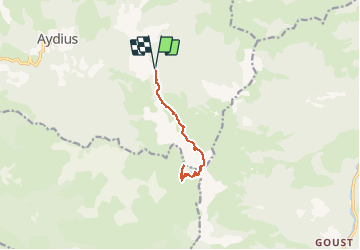
Randonnée Marche de 10,3 km à découvrir à Nouvelle-Aquitaine, Pyrénées-Atlantiques, Aydius. Cette randonnée est proposée par neoroll44.
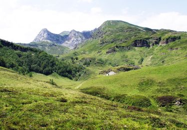
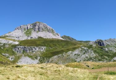
Depuis le village d’Aydius suivre la piste pendant 6,5km , les 3 derniers kilomètres se font sur une piste carrossable en bon état. Altitude 1060m, un cairn au bord de la piste vous indique le départ de la randonnée. Suivre le sentier rentrant dans le bois (plein Sud)
Attention: La piste qui était autorisée ces dernières années est de nouveau soumise à une réglementation: l’accès au parking final en voiture, après la piste carrossable, est autorisé seulement avant 9h du matin, l’amende de 5ème classe peut aller jusqu’à 1500€ ! ! ! dans le doute renseignez-vous à la mairie.


Marche
A pied
A pied
A pied
Marche
A pied

Marche
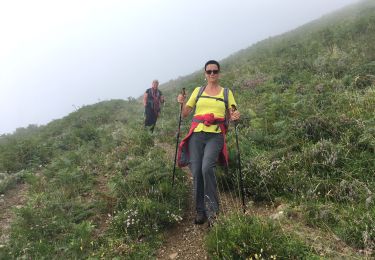
Marche
Marche