


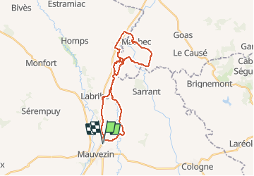

15,1 km | 18,8 km-effort


Utilisateur


Application GPS de randonnée GRATUITE
 SityTrail
IGN / Instituts géographiques
SityTrail World
Le monde est à vous
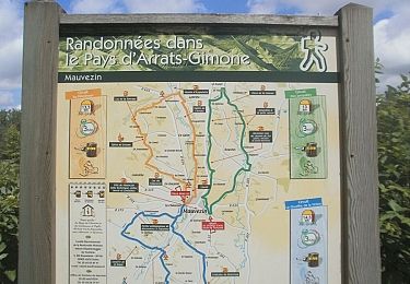
Randonnée V.T.T. de 29 km à découvrir à Occitanie, Gers, Mauvezin. Cette randonnée est proposée par lorenzot54.
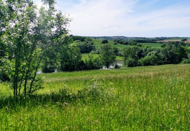
Rando par lesPR en longeant le ruisseau, très belle vue sur le massif de Pyrénées après Maubec.
A pied
Course à pied

V.T.T.
A pied

V.T.T.

Marche
V.T.T.
Marche