


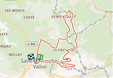

11,7 km | 17,7 km-effort

Utilisateur


Application GPS de randonnée GRATUITE
 SityTrail
IGN / Instituts géographiques
SityTrail World
Le monde est à vous
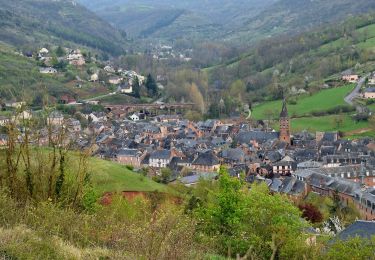
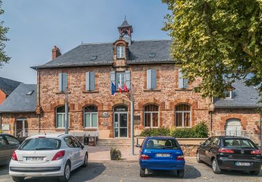
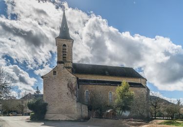
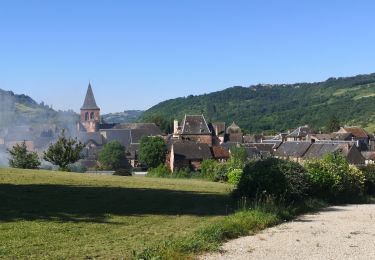
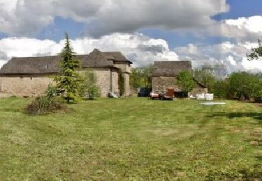
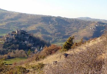
Randonnée Marche de 11,5 km à découvrir à Occitanie, Aveyron, Saint-Christophe-Vallon. Cette randonnée est proposée par ZITO12.
Rando très facile avec de belles vues panoramiques. Beaucoup de passages en situation dominante. Petit bémol : un peu trop de goudron au départ mais sans circulation. Beaucoup de chants d'oiseaux au printemps.


Marche
A pied
A pied

A pied

A pied
A pied
Marche
Marche
Marche