


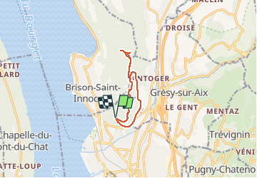


8,5 km | 14,8 km-effort

Utilisateur


Application GPS de randonnée GRATUITE
 SityTrail
IGN / Instituts géographiques
SityTrail World
Le monde est à vous
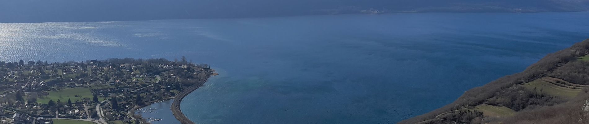
Randonnée Marche de 8,7 km à découvrir à Auvergne-Rhône-Alpes, Savoie, Aix-les-Bains. Cette randonnée est proposée par djeepee74.
BOUCLE... live 20210322
Départ parking central.
Retour par la ferme Raymond, chemin de la montagne... puis chemin des perdrix.


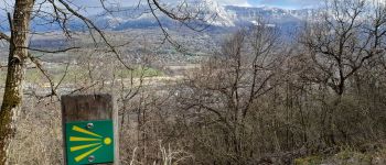
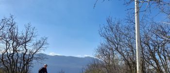
Marche

V.T.T.

Marche

Vélo électrique

Marche
Marche

Via ferrata


sport

Marche