


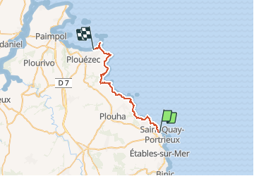

25 km | 30 km-effort

Utilisateur


Application GPS de randonnée GRATUITE
 SityTrail
IGN / Instituts géographiques
SityTrail World
Le monde est à vous
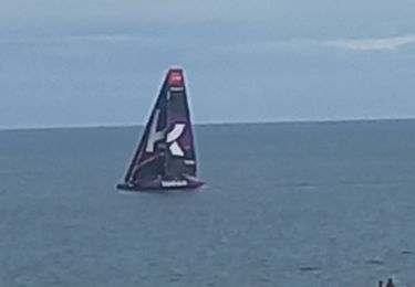
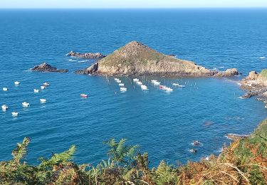
Randonnée Marche de 31 km à découvrir à Bretagne, Côtes-d'Armor, Saint-Quay-Portrieux. Cette randonnée est proposée par lagardienne.
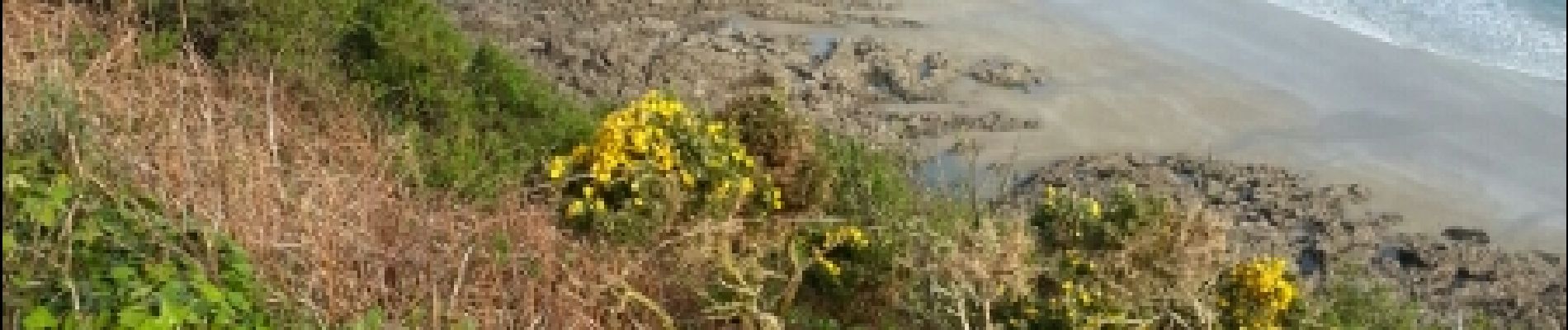
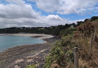
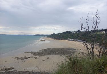
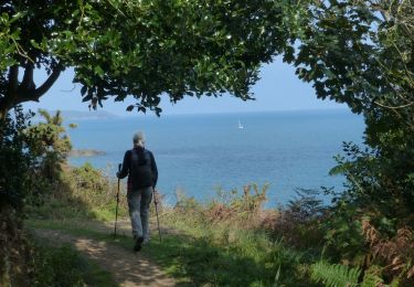
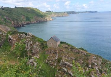
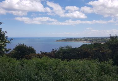
Bientôt sur le jardindelolo.fr le récit de mon périple sur le GR 34, étape par étape avec commentaires et photos.


Marche
Marche
Marche

Marche
Marche
Marche
Marche nordique
Marche
Marche