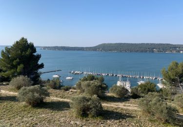
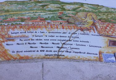
14,4 km | 18 km-effort
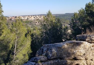
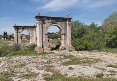
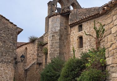
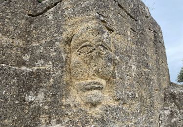
les bories et mur des abeilles
andrea cléa
Utilisateur
Longueur
11,5 km
Altitude max
106 m
Dénivelé positif
131 m
Km-Effort
13,2 km
Altitude min
55 m
Dénivelé négatif
135 m
Boucle
Oui
Date de création :
2021-03-13 07:24:57.237
Dernière modification :
2021-03-13 11:13:23.494
3h47
Difficulté : Très facile
Application GPS de randonnée GRATUITE
À propos
Randonnée Marche de 11,5 km à découvrir à Provence-Alpes-Côte d'Azur, Bouches-du-Rhône, Cornillon-Confoux. Cette randonnée est proposée par andrea cléa.
Localisation
Pays :
France
Région :
Provence-Alpes-Côte d'Azur
Département/Province :
Bouches-du-Rhône
Commune :
Cornillon-Confoux
Localité :
Unknown
Départ:(Dec)
Départ:(UTM)
666965 ; 4826132 (31T) N.
Commentaires
Randonnées à proximité
Miramas le vieux- tour de guet
Marche
Difficile
(1)
Miramas,
Provence-Alpes-Côte d'Azur,
Bouches-du-Rhône,
France
3h 52min
Oui
GB LE MUR DES ABEILLES GRANS
Marche
Moyen
(1)
Grans,
Provence-Alpes-Côte d'Azur,
Bouches-du-Rhône,
France
6,5 km | 7,2 km-effort
1h 43min
Oui
Belval-Pont de Rhaud
Marche
Facile
(1)
Miramas,
Provence-Alpes-Côte d'Azur,
Bouches-du-Rhône,
France
9,5 km | 10,8 km-effort
2h 29min
Oui
St Chamas la Touloubre
Marche
Facile
Saint-Chamas,
Provence-Alpes-Côte d'Azur,
Bouches-du-Rhône,
France
9,3 km | 11,5 km-effort
4h 10min
Oui
Miramas le Vieux St Chamas
Marche
Moyen
(1)
Miramas,
Provence-Alpes-Côte d'Azur,
Bouches-du-Rhône,
France
18,9 km | 24 km-effort
5h 56min
Oui
Vieux Miramas
Marche
Très difficile
Miramas,
Provence-Alpes-Côte d'Azur,
Bouches-du-Rhône,
France
18,5 km | 24 km-effort
6h 40min
Oui
St chamas
Marche
Très facile
Saint-Chamas,
Provence-Alpes-Côte d'Azur,
Bouches-du-Rhône,
France
12 km | 14,3 km-effort
3h 23min
Non
Lancon de Provence chapelle St Symphorien
Marche
Moyen
Lançon-Provence,
Provence-Alpes-Côte d'Azur,
Bouches-du-Rhône,
France
18,7 km | 22 km-effort
6h 1min
Oui
Miramas Pont de Fumet
Marche
Moyen
Miramas,
Provence-Alpes-Côte d'Azur,
Bouches-du-Rhône,
France
17,1 km | 19,7 km-effort
6h 31min
Oui