


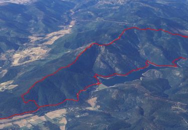
16,7 km | 25 km-effort

Utilisateur


Application GPS de randonnée GRATUITE
 SityTrail
IGN / Instituts géographiques
SityTrail World
Le monde est à vous
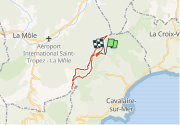
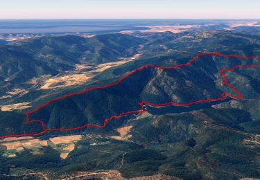
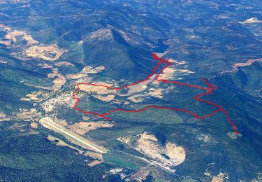
Randonnée Marche de 11,3 km à découvrir à Provence-Alpes-Côte d'Azur, Var, Cavalaire-sur-Mer. Cette randonnée est proposée par jean-marie.parachini.
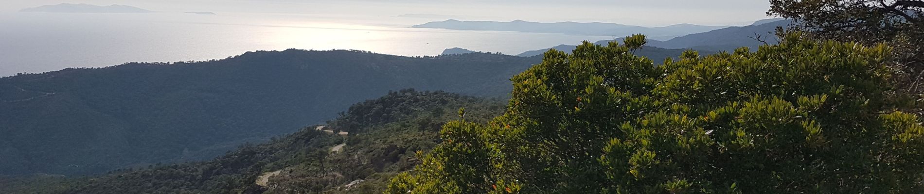
panorama sur Cavalaire Golfe de Saint-Tropez et les îles d'Hyères par piste de Saint Ferreol oppidum de Montjean col des Tuiles et route Forestière des Pradels.


Marche
Marche

Marche
Marche
Marche
V.T.T.
Marche
Marche
Marche