


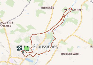

8,2 km | 10,5 km-effort

Utilisateur


Application GPS de randonnée GRATUITE
 SityTrail
IGN / Instituts géographiques
SityTrail World
Le monde est à vous
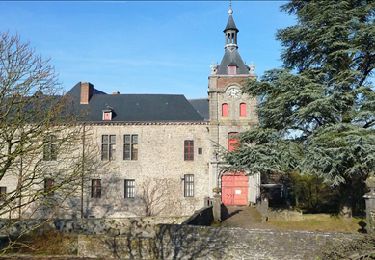
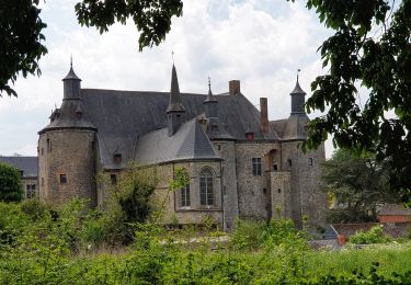
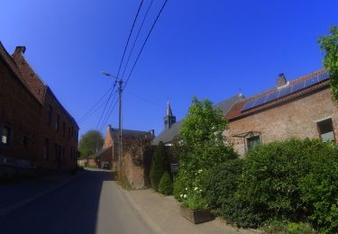
Randonnée Marche de 9,3 km à découvrir à Wallonie, Hainaut, Écaussinnes. Cette randonnée est proposée par Dorothée Mathieu.
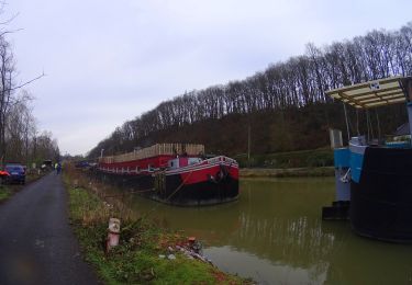
Attention que le pont du Ravel au niveau de la rue de l'Hayette est en construction; il n'est pas praticable. Sortir du Ravel avant...


Marche
Marche
Marche
Marche

V.T.T.

A pied
Marche
V.T.T.
V.T.T.