


8,4 km | 9,8 km-effort

Utilisateur


Application GPS de randonnée GRATUITE
 SityTrail
IGN / Instituts géographiques
SityTrail World
Le monde est à vous
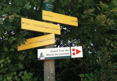
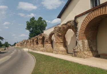
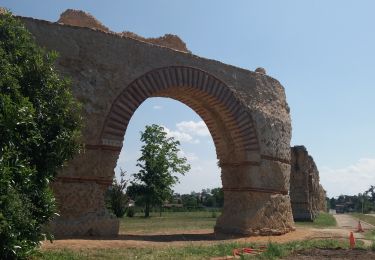
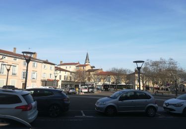
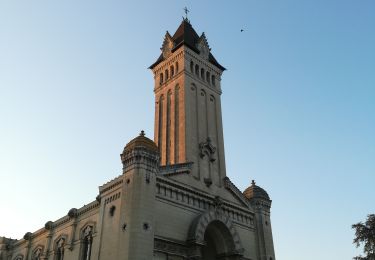
Randonnée Marche de 17,1 km à découvrir à Auvergne-Rhône-Alpes, Métropole de Lyon, Saint-Genis-Laval. Cette randonnée est proposée par jacques delaporte.
Accessible à tous


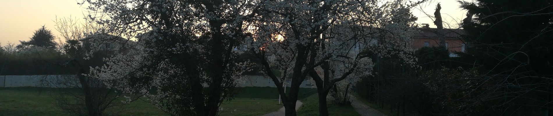
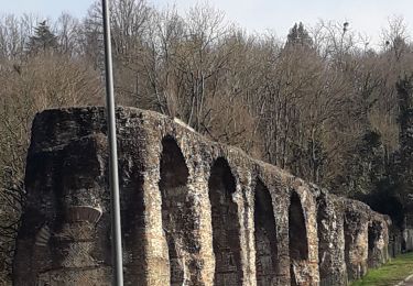
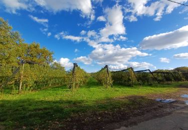
22 photos au total. Cliquez sur une photo pour les afficher toutes dans la galerie.
Marche

Marche
Marche
Marche
Marche
Marche
Marche
Marche
Marche