


11,5 km | 14,5 km-effort
Au Coeur de l'Ardenne Authentique - In het Hart van de Echte Ardennen GUIDE+


Application GPS de randonnée GRATUITE
 SityTrail
IGN / Instituts géographiques
SityTrail World
Le monde est à vous
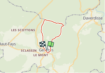
Randonnée Marche de 8,2 km à découvrir à Wallonie, Luxembourg, Daverdisse. Cette randonnée est proposée par Maison du Tourisme du Pays de Bouillon.
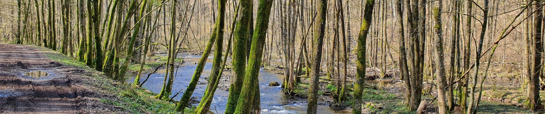
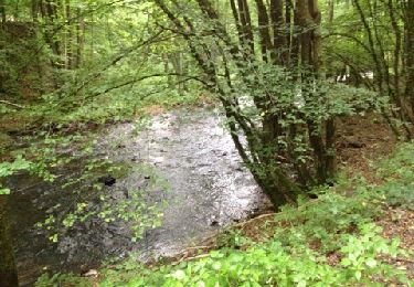
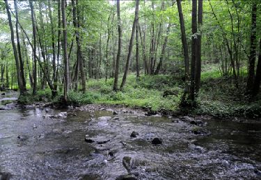
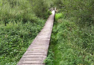
Superbe promenade passant le long de l'eau en suivant l'Almache sur les 4 premiers kilomètres. Découvrez une forêt paisible et le petit village de Gembes.
------------------------
Schitterende wandeling langs de Almache. Ontdek het rustige bos en het kleine dorpje Gembes.


Marche
A pied

Marche

Marche
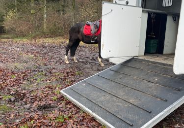
Randonnée équestre
Marche
Marche
Marche
A pied