


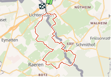

13,2 km | 17,3 km-effort

Utilisateur GUIDE


Application GPS de randonnée GRATUITE
 SityTrail
IGN / Instituts géographiques
SityTrail World
Le monde est à vous
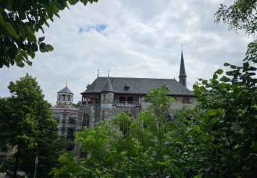
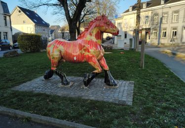
Randonnée Marche de 17,5 km à découvrir à Wallonie, Liège, Raeren. Cette randonnée est proposée par mumu.larandonneuse.
Randonnée transfrontalière entre la Belgique et l'Allemagne.
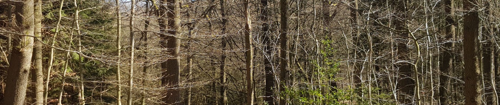
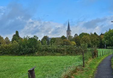
Beau parcours majoritairement boisé et campagnard.
📌 Café Restaurant Mesopotamia Raerenerstrasse 26.
ℹ www.wandelgidszuidlimburg.com n° 1023


Marche
Marche

Marche

Marche

Marche

Marche

Marche