


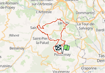


7,3 km | 12 km-effort


Utilisateur


Application GPS de randonnée GRATUITE
 SityTrail
IGN / Instituts géographiques
SityTrail World
Le monde est à vous
Randonnée Marche de 31 km à découvrir à Auvergne-Rhône-Alpes, Rhône, Pollionnay. Cette randonnée est proposée par jacques delaporte.
Belle marche physique !


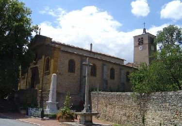
57 photos au total. Cliquez sur une photo pour les afficher toutes dans la galerie.

Marche
Marche

Marche

Marche
Marche

Marche

V.T.T.

Randonnée équestre
V.T.T.