


11,8 km | 16,4 km-effort

Utilisateur


Application GPS de randonnée GRATUITE
 SityTrail
IGN / Instituts géographiques
SityTrail World
Le monde est à vous
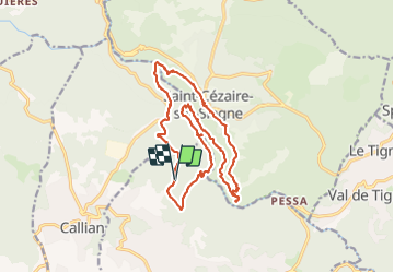
Randonnée Marche de 19,4 km à découvrir à Provence-Alpes-Côte d'Azur, Var, Montauroux. Cette randonnée est proposée par ETMU5496.
Au départ du stade municipal de Montauroux.
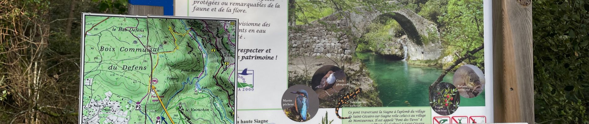
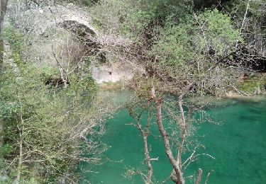
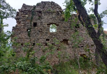
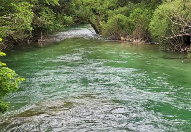
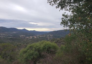
Belle randonnée le long de la Siagne d'une jolie couleur émeraude aux abords de St Cézaire. Du dénivelé parfois exigeant mais de très beaux points de vue en perspective. Pique nique à St Cézaire pour profiter de ce joli village perché et d'un beau point de vue sur les gorges de la Siagne.
Rando à réaliser en fin d'hiver pour profiter de la puissance des eaux.
ibp=81


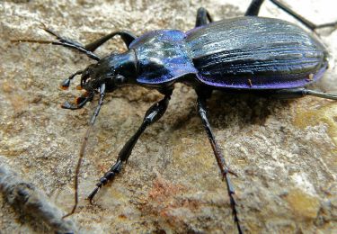
27 photos au total. Cliquez sur une photo pour les afficher toutes dans la galerie.
Marche

Marche
A pied
Marche
Marche
Marche
Marche
Marche
Marche