


8,4 km | 9,8 km-effort

Utilisateur


Application GPS de randonnée GRATUITE
 SityTrail
IGN / Instituts géographiques
SityTrail World
Le monde est à vous
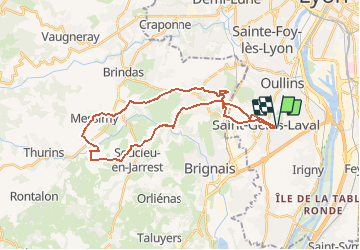
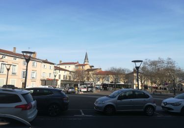
Randonnée Marche de 30 km à découvrir à Auvergne-Rhône-Alpes, Métropole de Lyon, Saint-Genis-Laval. Cette randonnée est proposée par jacques delaporte.
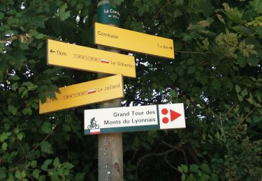
St Génis, Beauversant, Le Caillou, Le Colombier, Le Vernay, Le Mondor, En Boissière, Route Argencieux, Verchery, Quinsonnas, Messimy, Le Vincent, Le Bochet, Le Milon, La Chavannerie, Fort de Cote de Lorette, St Génis Laval.

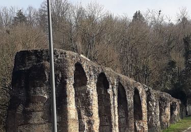
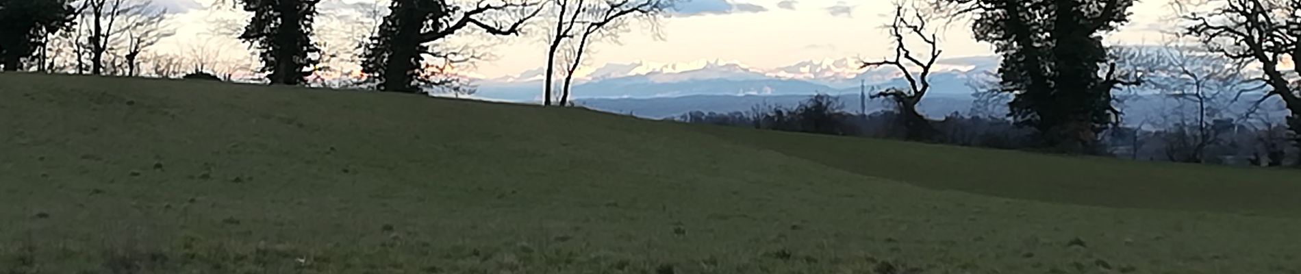
Marche

Marche
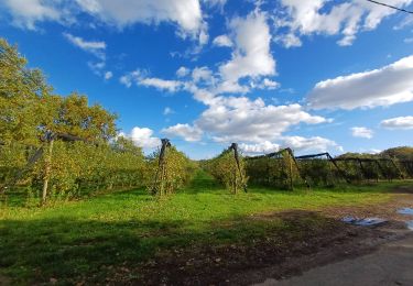
Marche
Marche
Marche
Marche
Marche
Marche
Marche