


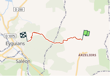

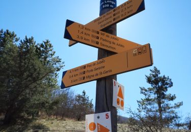
12,1 km | 21 km-effort

Utilisateur


Application GPS de randonnée GRATUITE
 SityTrail
IGN / Instituts géographiques
SityTrail World
Le monde est à vous
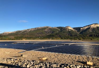
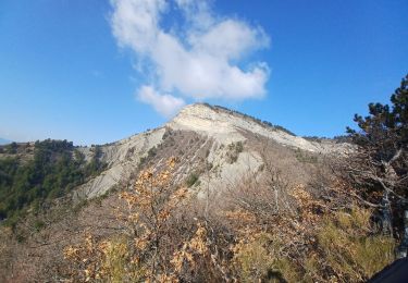
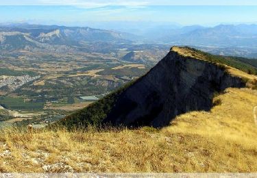
Randonnée Marche de 3,5 km à découvrir à Provence-Alpes-Côte d'Azur, Hautes-Alpes, Laragne-Montéglin. Cette randonnée est proposée par Dervalmarc.
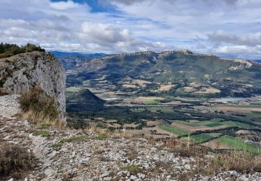
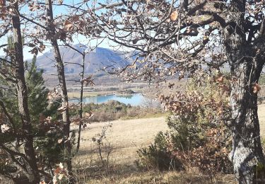
Promenade variée. Nombreux points de vue. Village médiéval du vieil Eyguians. Château de l'an 1000 du vieil Arzellier. Multipler les valeurs kilométriques par 2 pour l'aller retour.


A pied
Marche

Marche

V.T.T.
Marche
Marche
Marche

V.T.T.
Marche