


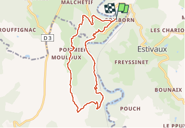

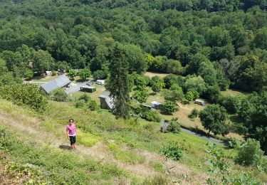
9,1 km | 11,5 km-effort


Utilisateur


Application GPS de randonnée GRATUITE
 SityTrail
IGN / Instituts géographiques
SityTrail World
Le monde est à vous
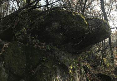
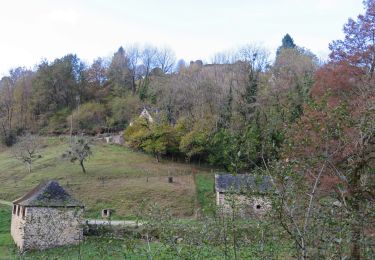
Randonnée Marche de 8,9 km à découvrir à Nouvelle-Aquitaine, Corrèze, Orgnac-sur-Vézère. Cette randonnée est proposée par Sherpat31.
Marche
Marche

Marche
Marche

Marche

Marche
Moto
Marche
Marche