


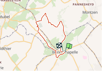


6,6 km | 7,9 km-effort

Utilisateur GUIDE


Application GPS de randonnée GRATUITE
 SityTrail
IGN / Instituts géographiques
SityTrail World
Le monde est à vous
Randonnée Marche de 12,1 km à découvrir à Wallonie, Liège, Welkenraedt. Cette randonnée est proposée par mumu.larandonneuse.
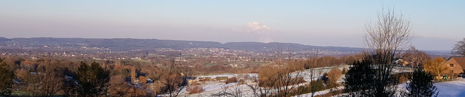
Très beau parcours balisé au départ d'Henri-Chapelle, village du Pays de Herve avec ses vues à 360° sur 3 vallées : vallée de la Vesdre, vallée de la Berwinne et vallée de la Gueule.
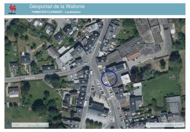
📌 Place du village


Marche

Marche

Marche

Marche

Marche
Marche
Marche
Marche
Marche