


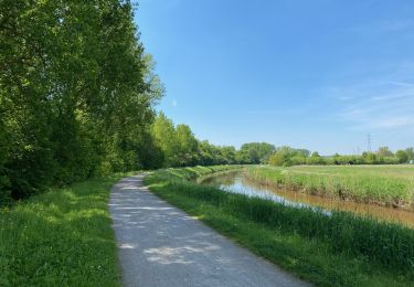
5,8 km | 6,4 km-effort

Utilisateur


Application GPS de randonnée GRATUITE
 SityTrail
IGN / Instituts géographiques
SityTrail World
Le monde est à vous
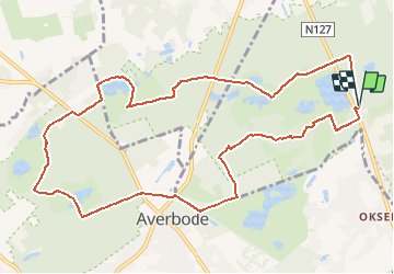
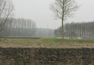
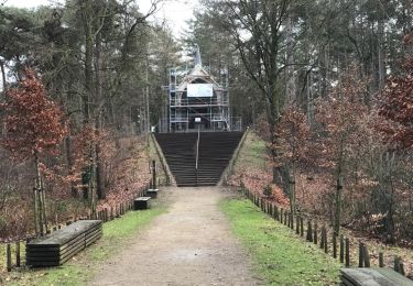
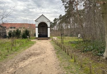
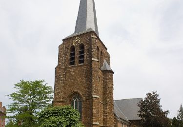
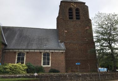
Randonnée Marche de 10,9 km à découvrir à Flandre, Limbourg, Tessenderlo. Cette randonnée est proposée par Bart.Bervoets.
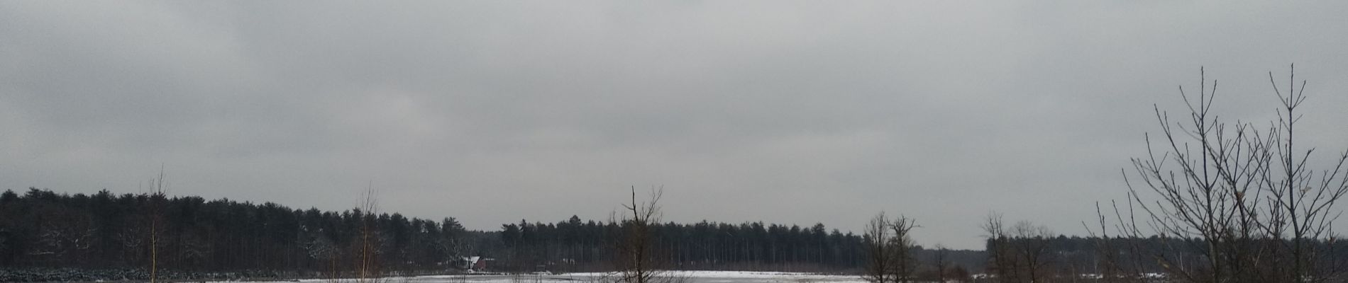
Sneeuwwandeling in Bos -en Heidegebied. Langs meerdere vennen en de abdij van Averbode.
Vertrek en aankomst : parking langs grote baan tussen Veerle en Okselaar.


A pied
A pied
A pied
A pied
Marche
Marche
Marche
A pied
Marche