


3,3 km | 3,6 km-effort


Utilisateur


Application GPS de randonnée GRATUITE
 SityTrail
IGN / Instituts géographiques
SityTrail World
Le monde est à vous
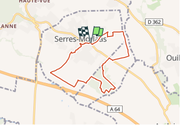
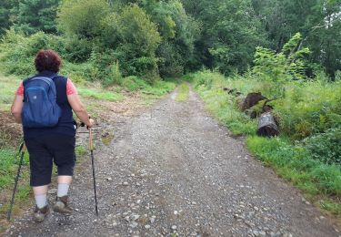
Randonnée A pied de 8,1 km à découvrir à Nouvelle-Aquitaine, Pyrénées-Atlantiques, Serres-Morlaàs. Cette randonnée est proposée par mitch1952.
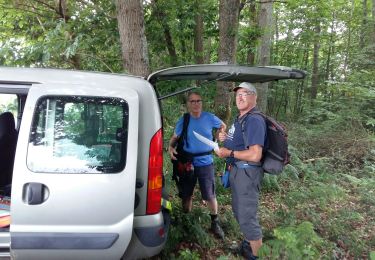
Très facile mais qqs flaques d'eau même par beau temps.
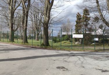
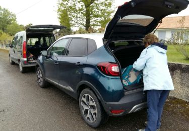
Pour le retour emprunter un chemin en herbe, qui montent entre les villas et où on découvre un jardin plein de sculptures en fer.

Marche


sport
A pied
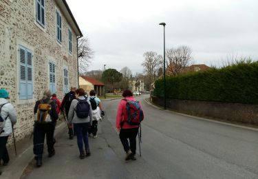
Marche
Marche
Marche
Marche
Marche

Marche