


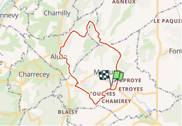

14,3 km | 19,4 km-effort


Utilisateur


Application GPS de randonnée GRATUITE
 SityTrail
IGN / Instituts géographiques
SityTrail World
Le monde est à vous
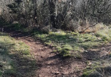
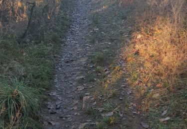
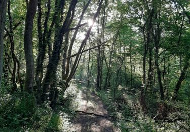
Randonnée Marche de 14 km à découvrir à Bourgogne-Franche-Comté, Saône-et-Loire, Mercurey. Cette randonnée est proposée par pensionisten71.
balade Vierge de Mercurey Chamilly
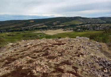
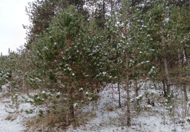
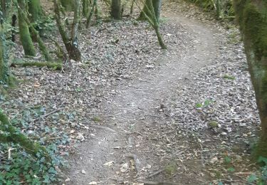
Aluze Touches bois chemin en bordure de vignes.
départ juste au-dessus de la mairie.

Marche
Marche
Marche
Marche
Marche
Marche
Marche
Marche
Marche