21 km | 25 km-effort
barrières 2 sur ch
yadraq01
Utilisateur
Longueur
457 m
Altitude max
297 m
Dénivelé positif
0 m
Km-Effort
480 m
Altitude min
289 m
Dénivelé négatif
7 m
Boucle
Non
Date de création :
2020-11-24 09:14:03.187
Dernière modification :
2023-08-05 21:37:54.776
1m
Difficulté : Facile
2h17
Difficulté : Facile
Application GPS de randonnée GRATUITE
À propos
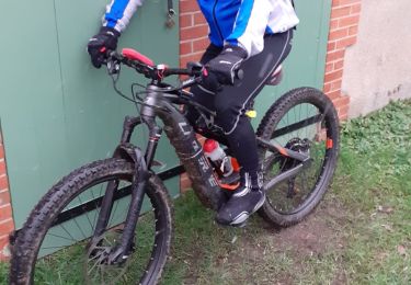
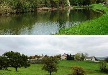
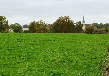
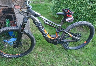
Randonnée V.T.T. de 457 m à découvrir à Auvergne-Rhône-Alpes, Allier, Avrilly. Cette randonnée est proposée par yadraq01.
Description
VTT ae
Localisation
Pays :
France
Région :
Auvergne-Rhône-Alpes
Département/Province :
Allier
Commune :
Avrilly
Localité :
Unknown
Départ:(Dec)
Départ:(UTM)
573423 ; 5132434 (31T) N.
Commentaires
Randonnées à proximité
Bourg le Comte
Marche
Très difficile
(2)
Bourg-le-Comte,
Bourgogne-Franche-Comté,
Saône-et-Loire,
France
5h 41min
Oui
VTT ae ou quad a tester 33 kms
V.T.T.
Difficile
Luneau,
Auvergne-Rhône-Alpes,
Allier,
France
32 km | 35 km-effort
2h 15min
Oui
Boucle VTT en Val Libre - Avrilly
V.T.T.
Moyen
Avrilly,
Auvergne-Rhône-Alpes,
Allier,
France
29 km | 33 km-effort
2h 45min
Oui
Boucle VTT en Val Libre - Le Bouchaud
V.T.T.
Moyen
Le Bouchaud,
Auvergne-Rhône-Alpes,
Allier,
France
42 km | 48 km-effort
3h 45min
Oui
quad rapidos
Quad
Très facile
Avrilly,
Auvergne-Rhône-Alpes,
Allier,
France
37 km | 42 km-effort
1h 1min
Oui
VTT OVERVOLT
V.T.T.
Moyen
Avrilly,
Auvergne-Rhône-Alpes,
Allier,
France
15,1 km | 17 km-effort
57min
Oui
quad et moto enduro
Quad
Très facile
Luneau,
Auvergne-Rhône-Alpes,
Allier,
France
38 km | 42 km-effort
Inconnu
Oui
croix mal perchée et retour
Moteur
Facile
Luneau,
Auvergne-Rhône-Alpes,
Allier,
France
21 km | 23 km-effort
1h 0min
Oui
avrilly
V.T.T.
Facile
Luneau,
Auvergne-Rhône-Alpes,
Allier,
France
19,8 km | 23 km-effort
1h 24min
Oui