


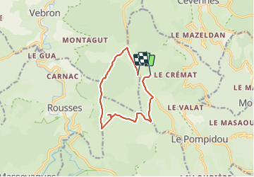

18,5 km | 26 km-effort


Utilisateur


Application GPS de randonnée GRATUITE
 SityTrail
IGN / Instituts géographiques
SityTrail World
Le monde est à vous
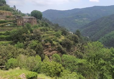
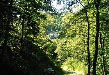
Randonnée Marche de 10,6 km à découvrir à Occitanie, Lozère, Vebron. Cette randonnée est proposée par josy31.
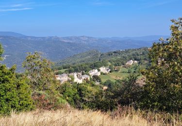
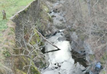
Belle randonnée, facile mais compliquée dans sa 3ème partie par les barrages et fausses indications empêchant la traversée de la Ferme "La Bastide".
Marche
Marche
Marche
Marche

Marche
Marche
Marche
Marche