


3 km | 3,3 km-effort

Utilisateur


Application GPS de randonnée GRATUITE
 SityTrail
IGN / Instituts géographiques
SityTrail World
Le monde est à vous
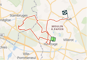
Randonnée Marche de 17,2 km à découvrir à Wallonie, Hainaut, Saint-Ghislain. Cette randonnée est proposée par Raphaël Richez.
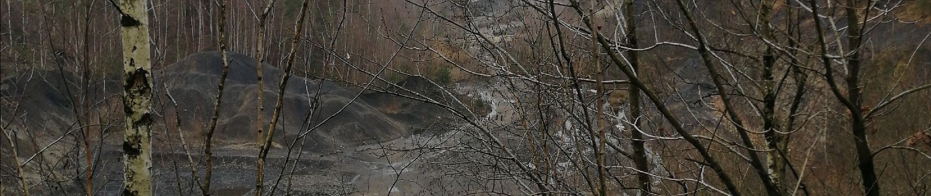
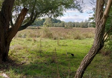
De Hautrage à la mer de sable 11 km dans les bois. Attention beaucoup d'eau et de boue, il faut s'équiper.


Marche

Marche nordique

A pied
Marche nordique
Marche
Marche
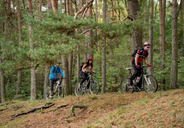
V.T.T.

V.T.T.
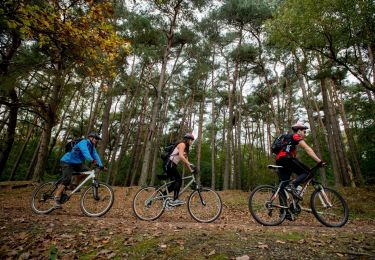
V.T.T.