


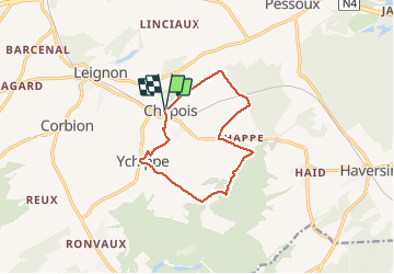

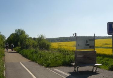
18,9 km | 24 km-effort


Utilisateur


Application GPS de randonnée GRATUITE
 SityTrail
IGN / Instituts géographiques
SityTrail World
Le monde est à vous
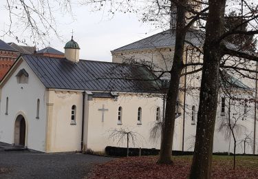
Randonnée Marche de 9,9 km à découvrir à Wallonie, Namur, Ciney. Cette randonnée est proposée par guy284.
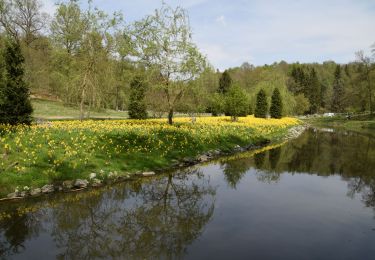
Belle randonnée MAIS, aujourd'hui, avec la pluie et le vent (heureusement qu'il y avait 10°C) nous sommes rentrés canné. Bien ... mais pas trop souvent.
Marche

Marche
Marche

V.T.T.
Vélo
Marche
Marche
Marche
Marche