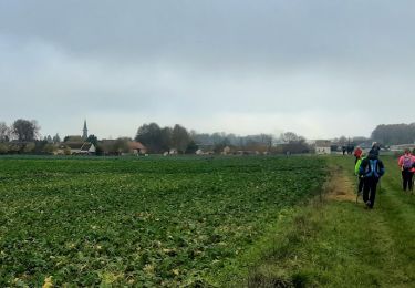
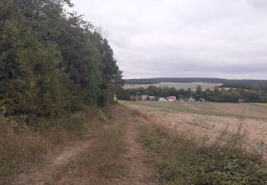
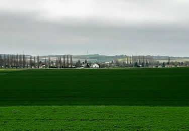
12,5 km | 13,9 km-effort
Forêt de Ferreux 10,5 km
Alain Picard
Utilisateur
Longueur
10,4 km
Altitude max
189 m
Dénivelé positif
152 m
Km-Effort
12,4 km
Altitude min
77 m
Dénivelé négatif
152 m
Boucle
Oui
Date de création :
2021-01-28 08:24:14.283
Dernière modification :
2021-01-28 08:25:28.527
--
Difficulté : Moyen
Application GPS de randonnée GRATUITE
À propos
Randonnée A pied de 10,4 km à découvrir à Grand Est, Aube, Ferreux-Quincey. Cette randonnée est proposée par Alain Picard.
Localisation
Pays :
France
Région :
Grand Est
Département/Province :
Aube
Commune :
Ferreux-Quincey
Localité :
Unknown
Départ:(Dec)
Départ:(UTM)
545195 ; 5366639 (31U) N.
Commentaires
Randonnées à proximité
FERREUX-QUINCEY à Saint-AUBIN
A pied
Facile
(1)
Ferreux-Quincey,
Grand Est,
Aube,
France
3h 25min
Oui
Saint Aubin et la vallée de l'Ardusson
Marche
Difficile
Saint-Aubin,
Grand Est,
Aube,
France
11 km | 12,5 km-effort
2h 28min
Oui
St Aubin - Fontaine Mâcon - St Aubin
Marche
Difficile
Saint-Aubin,
Grand Est,
Aube,
France
11,5 km | 13,1 km-effort
2h 20min
Oui
St Aubin - Fontaine Mâcon - Abbaye du Paraclet - St Aubin
Marche
Difficile
Saint-Aubin,
Grand Est,
Aube,
France
14,2 km | 16,3 km-effort
3h 15min
Oui
GÉLANNES, le village et les champs de céréales
Marche
Moyen
(1)
Gélannes,
Grand Est,
Aube,
France
10 km | 11,4 km-effort
2h 34min
Oui
RD Ferreux
A pied
Facile
Ferreux-Quincey,
Grand Est,
Aube,
France
6,7 km | 7,3 km-effort
Inconnu
Oui
Saint-Aubin, Quincey
A pied
Facile
Saint-Aubin,
Grand Est,
Aube,
France
10,8 km | 12,5 km-effort
2h 30min
Oui
Gélannes, Saint Hilaire
A pied
Moyen
Gélannes,
Grand Est,
Aube,
France
11,7 km | 13,8 km-effort
3h 0min
Oui
GELANNES (10) - Balade en plaine Gélannoise
sport
Très facile
Gélannes,
Grand Est,
Aube,
France
10,7 km | 12,3 km-effort
Inconnu
Oui