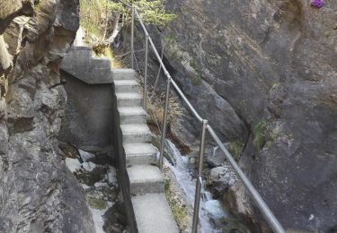
Randonnée Marche Steg-Hohtenn - Hohtenn - Eggerberg (rampe sud du Loetschberg) - Photo

Hohtenn - Eggerberg (rampe sud du Loetschberg)

 duamerg
duamerg

Utilisateur

© OpenStreetMap contributors
Longueur
Longueur
14,2 km
Altitude max
Altitude max
1087 m
Dénivelé positif
Dénivelé positif
469 m
Km-Effort
Km-Effort  
21 km
Altitude min
Altitude min
835 m
Dénivelé négatif
Dénivelé négatif
688 m
Boucle
Boucle
Non
Date de création :
2014-12-11 00:00:00.0
Dernière modification :
2020-01-30 13:57:45.627

(0 Avis)

Marche
Marche
5h00
Difficulté : Moyen

Scannez ce code QR pour ouvrir la randonnée dans l'application SityTrail

Application GPS de randonnée GRATUITE

Logo SityTrail SityTrail

IGN / Instituts géographiques

Télécharger SityTrail sur l'App Store Télécharger SityTrail sur Google Play

Logo SityTrail SityTrail World

Le monde est à vous

Télécharger SityTrail sur l'App Store Télécharger SityTrail sur Google Play Télécharger SityTrail sur Huawei AppGallery

À propos

Randonnée Marche de 14,2 km à découvrir à Valais, Rarogne occidental, Steg-Hohtenn. Cette randonnée est proposée par duamerg.

Description

Très belle course. Suivre les panneaux jaunes. Prendre le train pour le retour.

Profil altimétrique

Localisation

Pays :
Suisse
Région :
Valais
Département/Province :
Rarogne occidental
Commune :
Steg-Hohtenn
Localité :
Unknown
Départ:(Dec)
Départ:(UTM)
404916 ; 5130612 (32T) N.

Randonnées à proximité

Randonnée Marche Steg-Hohtenn - Hohtenn Lalden: Lötschberg-Südrampe - Photo
Marche
GUIDE+

Marche

Très facile
Steg-Hohtenn, Valais, Rarogne occidental, Suisse
21 km | 33 km-effort
Inconnu
Non
Randonnée Marche Turtmann-Unterems - Turtmanntal: Von Wasserfall zu Wasserfall - Photo
Marche
GUIDE+

Marche

Très facile
Turtmann-Unterems, Valais, Loèche, Suisse
10,1 km | 19,7 km-effort
Inconnu
Oui
Randonnée Marche Steg-Hohtenn - st_koreatv08_03 - Photo
Marche
GUIDE+

Marche

Très facile
Steg-Hohtenn, Valais, Rarogne occidental, Suisse
36 km | 105 km-effort
7h 24min
Non
Randonnée Marche Steg-Hohtenn - 2 bisses depuis Hohtenn 06.04.17 - Photo
Marche
duamerg

Marche

Moyen
Steg-Hohtenn, Valais, Rarogne occidental, Suisse
7,8 km | 12,5 km-effort
2h 59min
Oui
Randonnée Marche Châtillon-le-Bas - Gampel, Schwarzhorn - Photo
Marche
rpf

Marche

Très facile
Châtillon-le-Bas, Valais, Rarogne occidental, Suisse
9,7 km | 19,5 km-effort
5h 30min
Oui
Randonnée Autre activité Steg-Hohtenn - 14 10 09 Alpjoly - Photo
Autre activité
mjoseph

Autre activité

Très facile
Steg-Hohtenn, Valais, Rarogne occidental, Suisse
10,5 km | 22 km-effort
Inconnu
Oui
Randonnée V.T.T. Ferden - gampel - jetzinen - leukerbad -kanderstg / 55 km / 1800 m - Photo
V.T.T.
maturin

V.T.T.

Très facile
Ferden, Valais, Rarogne occidental, Suisse
57 km | 101 km-effort
7h 52min
Non
Randonnée Autre activité Steg-Hohtenn - Rampe sud du BLS - Photo
Autre activité
james

Autre activité

Très facile
Steg-Hohtenn, Valais, Rarogne occidental, Suisse
17,1 km | 25 km-effort
Inconnu
Non
Randonnée Autre activité Eischoll - Export 100''000 - Photo
Autre activité
dondon

Autre activité

Très facile
Eischoll, Valais, Rarogne occidental, Suisse
18,1 km | 52 km-effort
Inconnu
Non


Fermer
Mes abonnements