![](/images/other/stat-length.png)
![Randonnée Marche Le Prêcheur - La pelé depuis le parking Martineaud - Photo](https://media.geolcdn.com/t/1900/400/a742b0f6-66e3-4689-b5b3-4cf031bdf80a.jpg&format=pjpeg&maxdim=2)
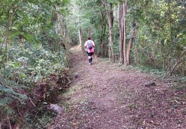
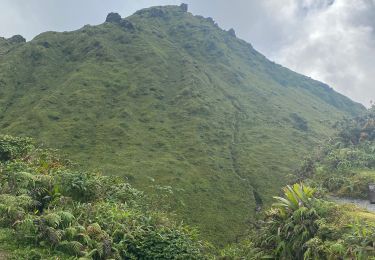
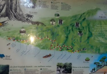
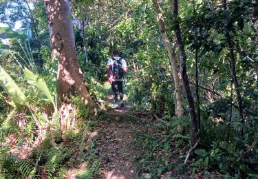
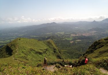
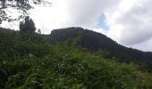
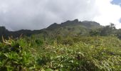
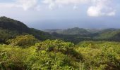
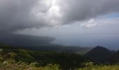
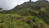
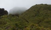
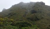
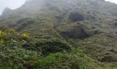
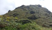
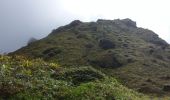
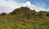
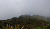
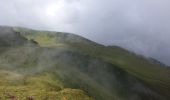
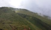
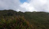
La pelé depuis le parking Martineaud
tercla
Utilisateur
![Longueur](/images/other/stat-length.png)
Longueur
6,5 km
![Altitude max](https://static1.geolcdn.com/siteimages/upload/files/1508320355ic_sort_altitude_max_24dp.png)
Altitude max
1380 m
![Dénivelé positif](https://static1.geolcdn.com/siteimages/upload/files/1508320355ic_sort_den_pos_24dp.png)
Dénivelé positif
723 m
![Km-Effort](/images/other/stat-length.png)
Km-Effort
16,2 km
![Altitude min](https://static1.geolcdn.com/siteimages/upload/files/1508320355ic_sort_altitude_min_24dp.png)
Altitude min
685 m
![Dénivelé négatif](https://static1.geolcdn.com/siteimages/upload/files/1508320355ic_sort_den_neg_24dp.png)
Dénivelé négatif
725 m
![Boucle](https://static1.geolcdn.com/siteimages/upload/files/16400158638029165_repeat_loop_refresh_sync_direction_icon.png)
Boucle
Oui
Date de création :
2021-01-22 14:22:24.586
Dernière modification :
2021-01-23 01:03:43.801
![Marche](https://static1.geolcdn.com/sitytour/trail-icons/101.png)
5h56
Difficulté : Très difficile
![Scannez ce code QR pour ouvrir la randonnée dans l'application SityTrail](https://capi.geolives.com/qq0zvz2zws4bq2lad0pu/sitytour/trails/2648050/qr.png?size=200)
Application GPS de randonnée GRATUITE
À propos
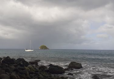
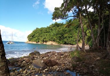
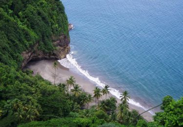
Randonnée Marche de 6,5 km à découvrir à Martinique, Inconnu, Le Prêcheur. Cette randonnée est proposée par tercla.
Description
Randonnée physique. Il est conseillé d'avoir des chaussures de randonnée. Prévoir de l'eau.
Localisation
Pays :
France
Région :
Martinique
Département/Province :
Inconnu
Commune :
Le Prêcheur
Localité :
Unknown
Départ:(Dec)
Départ:(UTM)
695467 ; 1638015 (20P) N.
Commentaires
Randonnées à proximité
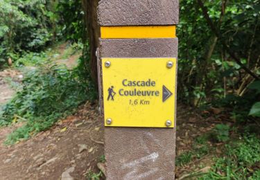
![Randonnée Marche Le Prêcheur - Cascade de l'anse Couleuvre, depuis anse Céron en aller-retour ! - Photo](https://media.geolcdn.com/t/375/260/ff48832d-783c-4c07-9e47-af4b338818d4.jpg&format=jpg&maxdim=2)
![Marche Marche](https://static1.geolcdn.com/sitytour/trail-icons/101.png)
Cascade de l'anse Couleuvre, depuis anse Céron en aller-retour !
Marche
Difficile
(1)
Le Prêcheur,
Martinique,
Inconnu,
France
![](/images/other/stat-length.png)
3,6 km | 7,2 km-effort
2h 0min
![](https://static1.geolcdn.com/siteimages/upload/files/16400158638029165_repeat_loop_refresh_sync_direction_icon.png)
Non
![Randonnée Marche Le Prêcheur - Sentier Martineaud Le Prêcheur - Photo](https://media.geolcdn.com/t/375/260/16213a0b-d171-487a-bc33-e0d760b7f90a.jpg&format=jpg&maxdim=2)
![Marche Marche](https://static1.geolcdn.com/sitytour/trail-icons/101.png)
Sentier Martineaud Le Prêcheur
Marche
Moyen
Le Prêcheur,
Martinique,
Inconnu,
France
![](/images/other/stat-length.png)
4,4 km | 11,2 km-effort
2h 10min
![](https://static1.geolcdn.com/siteimages/upload/files/16400158638029165_repeat_loop_refresh_sync_direction_icon.png)
Non
![Randonnée Marche L'Ajoupa-Bouillon - Montagne pelée - Photo](https://media.geolcdn.com/t/375/260/4661306f-959d-4727-8469-834deb4937e3.jpg&format=jpg&maxdim=2)
![Marche Marche](https://static1.geolcdn.com/sitytour/trail-icons/101.png)
Montagne pelée
Marche
Difficile
L'Ajoupa-Bouillon,
Martinique,
Inconnu,
France
![](/images/other/stat-length.png)
7,5 km | 16,5 km-effort
6h 2min
![](https://static1.geolcdn.com/siteimages/upload/files/16400158638029165_repeat_loop_refresh_sync_direction_icon.png)
Oui
![Randonnée Marche Le Prêcheur - Traces des Anses - Photo](https://media.geolcdn.com/t/375/260/4d197444-d36c-4b2a-9067-e0613a54cd7e.jpg&format=jpg&maxdim=2)
![Marche Marche](https://static1.geolcdn.com/sitytour/trail-icons/101.png)
Traces des Anses
Marche
Facile
Le Prêcheur,
Martinique,
Inconnu,
France
![](/images/other/stat-length.png)
4,7 km | 7,2 km-effort
2h 0min
![](https://static1.geolcdn.com/siteimages/upload/files/16400158638029165_repeat_loop_refresh_sync_direction_icon.png)
Oui
![Randonnée Marche Le Prêcheur - Sentier Martineaud - Photo](https://media.geolcdn.com/t/375/260/1344d46e-99de-43d9-8c22-826881619995.jpg&format=jpg&maxdim=2)
![Marche Marche](https://static1.geolcdn.com/sitytour/trail-icons/101.png)
Sentier Martineaud
Marche
Moyen
Le Prêcheur,
Martinique,
Inconnu,
France
![](/images/other/stat-length.png)
9,8 km | 0 m-effort
3h 45min
![](https://static1.geolcdn.com/siteimages/upload/files/16400158638029165_repeat_loop_refresh_sync_direction_icon.png)
Oui
![Randonnée Marche L'Ajoupa-Bouillon - Montagne Pelée - Photo](https://media.geolcdn.com/t/375/260/6be9e0ce-140a-493e-bd2e-864a18d26510.jpg&format=jpg&maxdim=2)
![Marche Marche](https://static1.geolcdn.com/sitytour/trail-icons/101.png)
Montagne Pelée
Marche
Moyen
(1)
L'Ajoupa-Bouillon,
Martinique,
Inconnu,
France
![](/images/other/stat-length.png)
7,8 km | 16,8 km-effort
4h 49min
![](https://static1.geolcdn.com/siteimages/upload/files/16400158638029165_repeat_loop_refresh_sync_direction_icon.png)
Oui
![Randonnée Marche Le Prêcheur - Anse couleuvre Grand Rivière - Photo](https://media.geolcdn.com/t/375/260/8a9ab88b-af19-4f18-8759-0b49cb1a1f91.jpg&format=jpg&maxdim=2)
![Marche Marche](https://static1.geolcdn.com/sitytour/trail-icons/101.png)
Anse couleuvre Grand Rivière
Marche
Très difficile
Le Prêcheur,
Martinique,
Inconnu,
France
![](/images/other/stat-length.png)
15,8 km | 28 km-effort
6h 0min
![](https://static1.geolcdn.com/siteimages/upload/files/16400158638029165_repeat_loop_refresh_sync_direction_icon.png)
Non
![Randonnée Marche Le Prêcheur - Cascade Couleuvre - Photo](https://media.geolcdn.com/t/375/260/12703f70-97a6-4c73-afea-ac5ba35ae2e8.jpg&format=jpg&maxdim=2)
![Marche Marche](https://static1.geolcdn.com/sitytour/trail-icons/101.png)
Cascade Couleuvre
Marche
Très facile
Le Prêcheur,
Martinique,
Inconnu,
France
![](/images/other/stat-length.png)
5,9 km | 10,1 km-effort
6h 1min
![](https://static1.geolcdn.com/siteimages/upload/files/16400158638029165_repeat_loop_refresh_sync_direction_icon.png)
Oui
![Randonnée Marche Le Prêcheur - Anse couleuvre vers Rivière Trois-Bras - Photo](https://media.geolcdn.com/t/375/260/9bf78dda-443d-4845-8daa-a8f9fa729504.jpg&format=jpg&maxdim=2)
![Marche Marche](https://static1.geolcdn.com/sitytour/trail-icons/101.png)
Anse couleuvre vers Rivière Trois-Bras
Marche
Très difficile
Le Prêcheur,
Martinique,
Inconnu,
France
![](/images/other/stat-length.png)
16,4 km | 34 km-effort
7h 49min
![](https://static1.geolcdn.com/siteimages/upload/files/16400158638029165_repeat_loop_refresh_sync_direction_icon.png)
Oui