


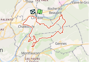

6,9 km | 9,3 km-effort

Utilisateur


Application GPS de randonnée GRATUITE
 SityTrail
IGN / Instituts géographiques
SityTrail World
Le monde est à vous
Randonnée Marche de 21 km à découvrir à Bourgogne-Franche-Comté, Doubs, Chalèze. Cette randonnée est proposée par TRIMAILLE.
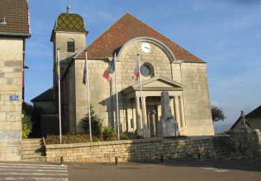
Départ à Chaléze du parking de l'église.
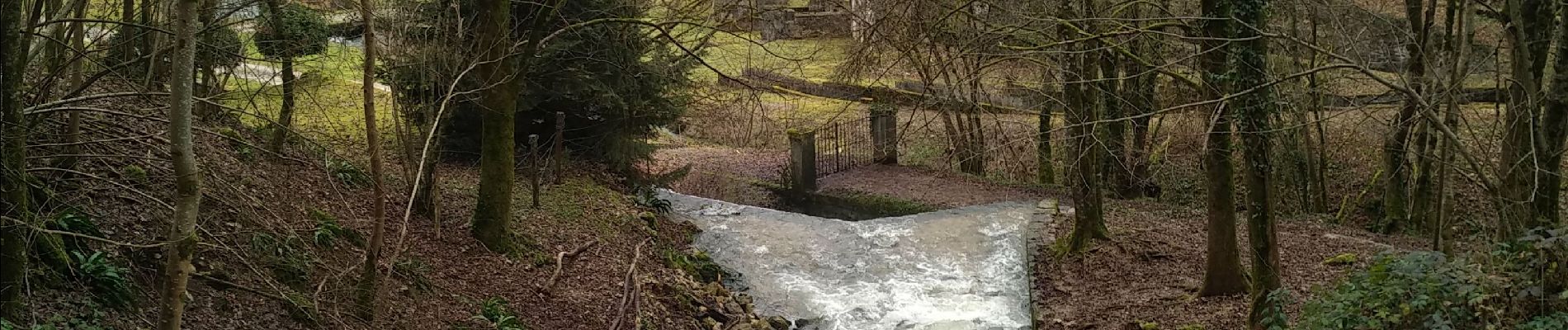
A voir Château et fort de Montfaucon, Fort des Epesses, Sapin et chêne président (a proximité cabane de chasse pour pique niquer), sources Bergeret et source d'Arcier


Marche

Marche

A pied

A pied

A pied

A pied

A pied
A pied
A pied