


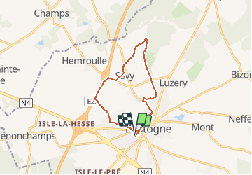

10 km | 11,7 km-effort


Utilisateur


Application GPS de randonnée GRATUITE
 SityTrail
IGN / Instituts géographiques
SityTrail World
Le monde est à vous
Randonnée Marche de 10 km à découvrir à Wallonie, Luxembourg, Bastogne. Cette randonnée est proposée par sophievdh.
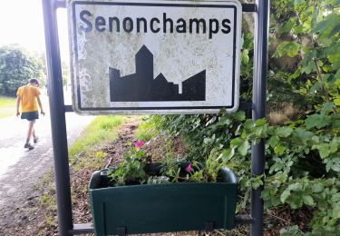
Balade proposée par le syndicat d'initiative de Bastogne
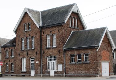
Départ de la Gare du Sud
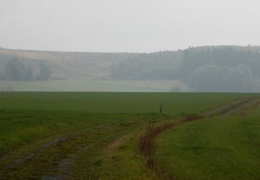
Ce circuit vous conduira vers une zone où la faune ornithologique est fort diversifiée. On peut y entendre le «miaulement» de la buse variable ou observer un faucon crécerelle .
A pied
Marche

Marche
Marche
Marche
Marche
Marche
Marche
Marche