


14,4 km | 17,2 km-effort

Utilisateur GUIDE


Application GPS de randonnée GRATUITE
 SityTrail
IGN / Instituts géographiques
SityTrail World
Le monde est à vous
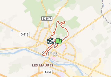
Randonnée Marche de 6 km à découvrir à Nouvelle-Aquitaine, Pyrénées-Atlantiques, Orthez. Cette randonnée est proposée par marmotte65.
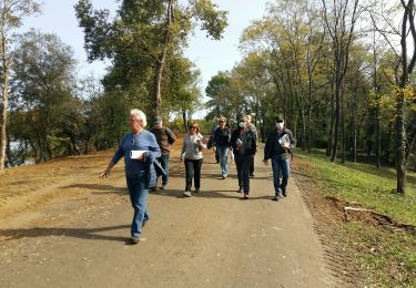
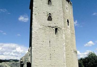
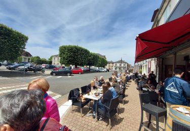
Très jolie promenade en famille ou entre amis. Vous découvrirez les coulisses d'Orthez la tour Moncade la mystique salle de la Moutète.
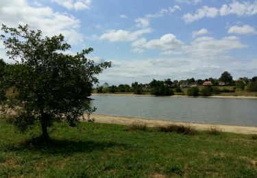
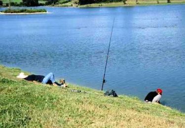
les musées le lac du Grecq..... bref allez y
le temps est donné sans les pauses.
vous trouverez ce circuit sur les documents de la CCLO " communauté des commune de Lacq Orthez"
bonne balade
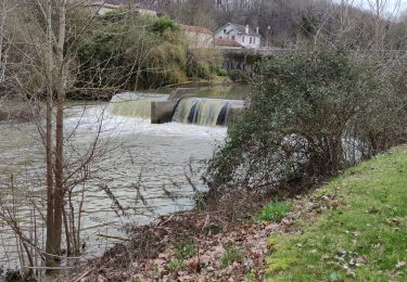
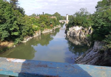
 G4 labélisation fait - Photo 1")
 G4 labélisation fait - Photo 2")
 G4 labélisation fait - Photo 3")
 G4 labélisation fait - Photo 4")
 G4 labélisation fait - Photo 5")
 G4 labélisation fait - Photo 6")
 G4 labélisation fait - Photo 7")
 G4 labélisation fait - Photo 8")
 G4 labélisation fait - Photo 9")
 G4 labélisation fait - Photo 10")
 G4 labélisation fait - Photo 11")
 G4 labélisation fait - Photo 12")
Marche
A pied
Marche
Marche

Course à pied

V.T.T.
Marche
Marche
Marche