


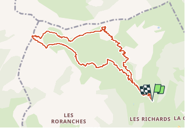

7,4 km | 12,1 km-effort

Utilisateur GUIDE


Application GPS de randonnée GRATUITE
 SityTrail
IGN / Instituts géographiques
SityTrail World
Le monde est à vous
Randonnée Ski de randonnée de 12,2 km à découvrir à Provence-Alpes-Côte d'Azur, Hautes-Alpes, Saint-Jean-Saint-Nicolas. Cette randonnée est proposée par nadd73.
Départ des Richards
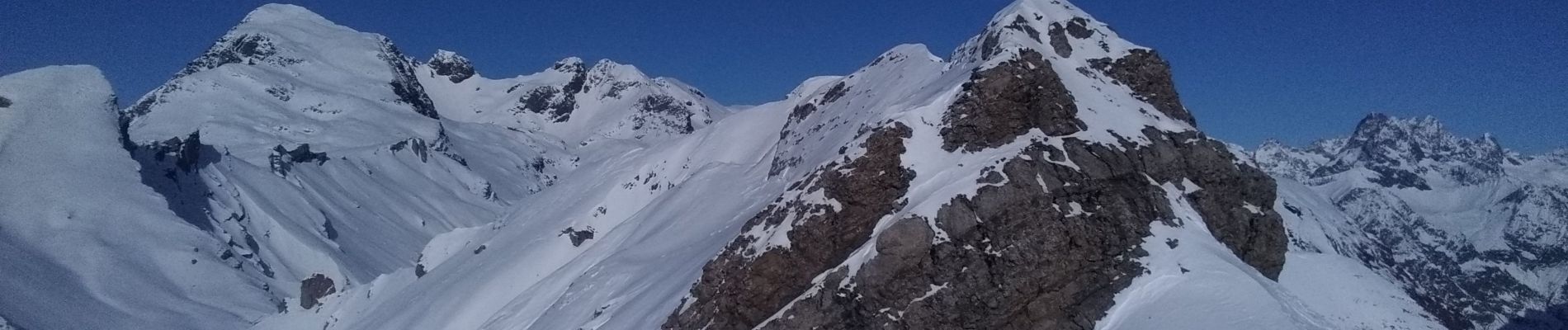
Montée à Soleil Boeuf par la crête.
Neige croutée.


Marche

Marche

Marche

A pied

Marche

Marche

Ski de randonnée
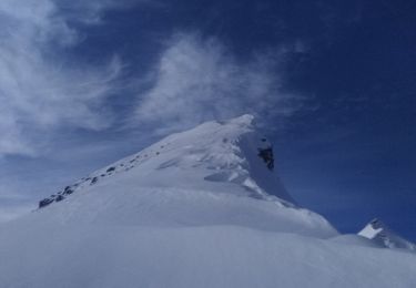
Ski de randonnée
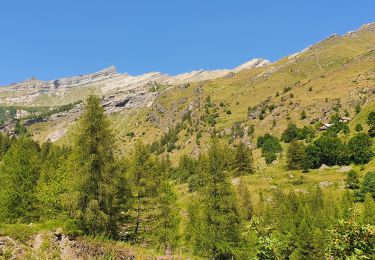
Marche