


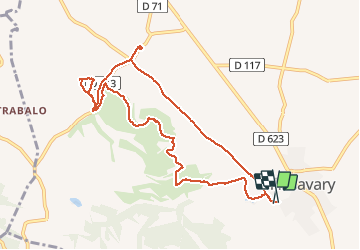

16,9 km | 21 km-effort


Utilisateur


Application GPS de randonnée GRATUITE
 SityTrail
IGN / Instituts géographiques
SityTrail World
Le monde est à vous
Randonnée Marche de 10,6 km à découvrir à Occitanie, Aude, Villasavary. Cette randonnée est proposée par caccini.
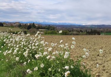
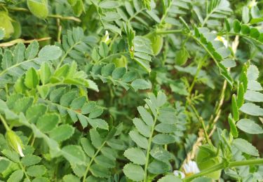
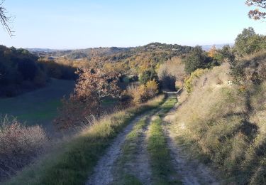
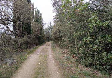
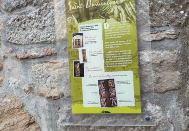
Randonnée autour de Villasavary en suivant une partie du circuit de la boucle des paysages, avec un détour pour découvrir la Chapelle de Besplas.
C'est une randonnée variée, agréable, facile.
Marche
Marche

Marche

V.T.T.
Marche
Marche
Marche