


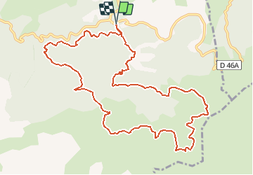

13,7 km | 20 km-effort

Utilisateur


Application GPS de randonnée GRATUITE
 SityTrail
IGN / Instituts géographiques
SityTrail World
Le monde est à vous
Randonnée Marche de 13,3 km à découvrir à Provence-Alpes-Côte d'Azur, Bouches-du-Rhône, Allauch. Cette randonnée est proposée par Coqorico.
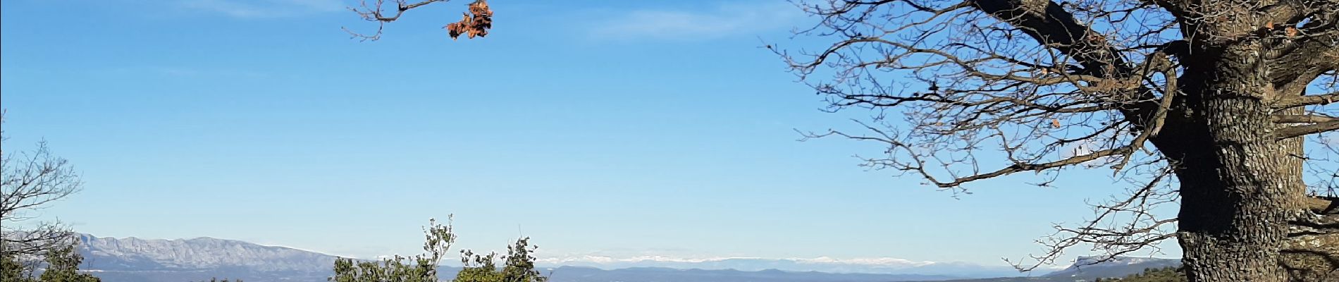
Jolie boucle dans les terres de Pagnol, offrant si le ciel le permet un panorama de la mer aux montagnes (Sainte Victoire bien sûr, Sainte Baume, sommets du Verdon et des Alpes, Luberon, Mont Ventoux).


Marche

Marche

Marche

V.T.T.

Marche
V.T.T.

V.T.T.

Marche

Marche
Belle randonnée au pays de Pagnol, avec un panorama de la mer à la montagne.