


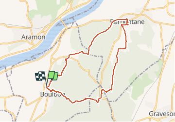


16,9 km | 21 km-effort

Utilisateur GUIDE


Application GPS de randonnée GRATUITE
 SityTrail
IGN / Instituts géographiques
SityTrail World
Le monde est à vous
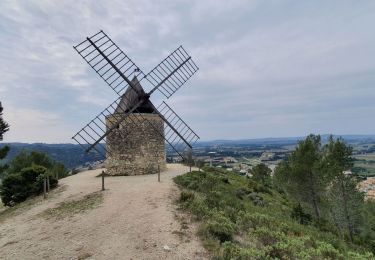
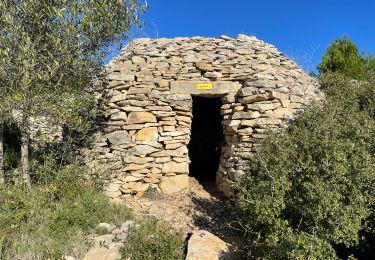
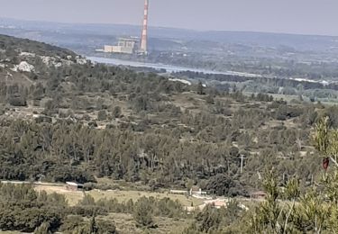
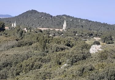
Randonnée Marche de 19,6 km à découvrir à Provence-Alpes-Côte d'Azur, Bouches-du-Rhône, Boulbon. Cette randonnée est proposée par nadinebondoux.
la Montagnette


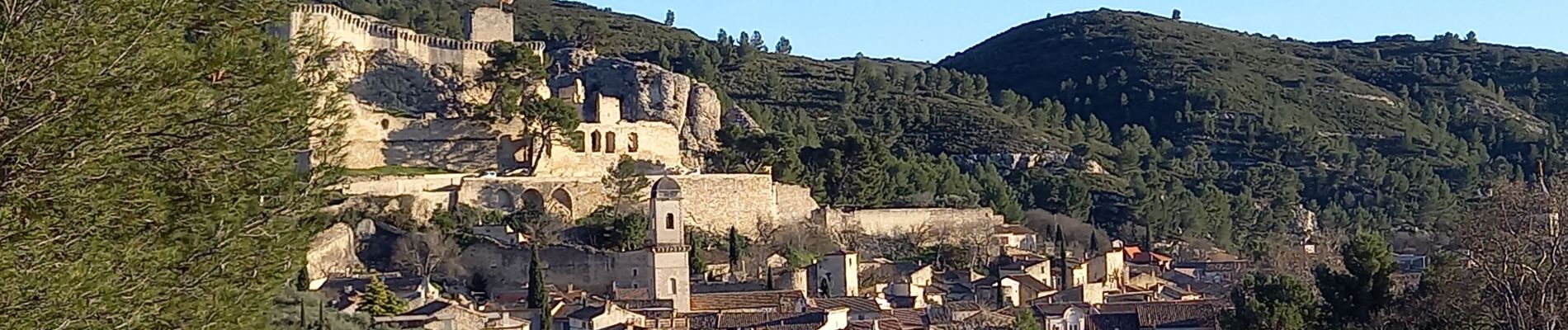
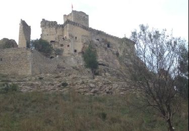
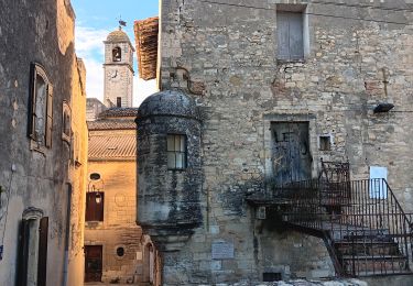
26 photos au total. Cliquez sur une photo pour les afficher toutes dans la galerie.
Marche

A pied
Marche

Marche
Marche
Marche
Marche
Marche

Marche