


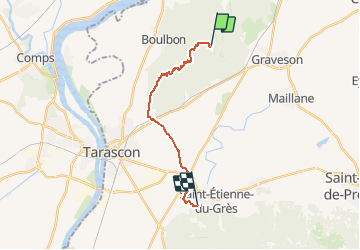

16,9 km | 21 km-effort


Utilisateur


Application GPS de randonnée GRATUITE
 SityTrail
IGN / Instituts géographiques
SityTrail World
Le monde est à vous
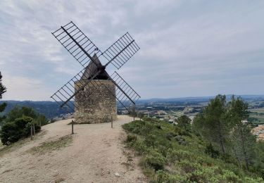
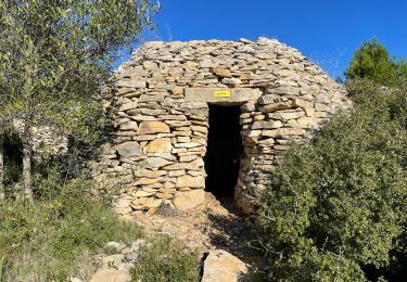
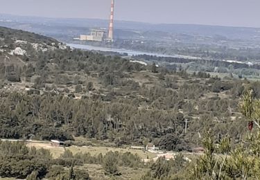
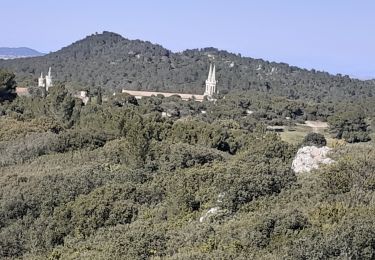
Randonnée Marche de 15,8 km à découvrir à Provence-Alpes-Côte d'Azur, Bouches-du-Rhône, Tarascon. Cette randonnée est proposée par Sachem84.
Via Avenio de la Basilique St-Michel de Frigolet à la Congrégation des Soeurs de Pomeyrol à St-Étienne-du-Grès
Marche
Marche

A pied
Marche
Marche
Marche
Marche
Marche
Marche