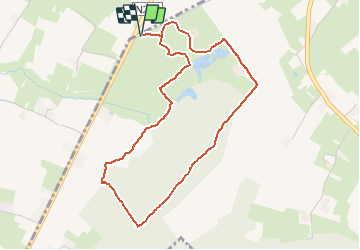

6,4 km | 7,9 km-effort

Utilisateur


Application GPS de randonnée GRATUITE
 SityTrail
IGN / Instituts géographiques
SityTrail World
Le monde est à vous
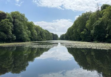
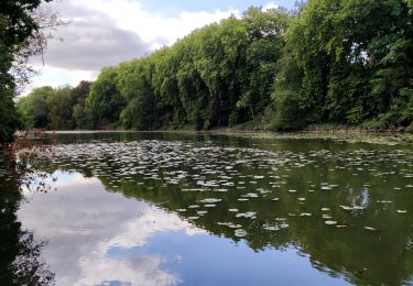
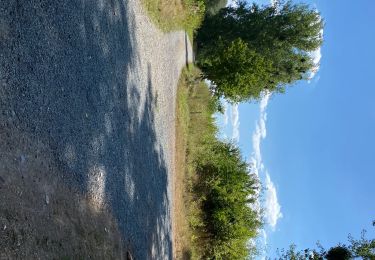
Randonnée Marche de 4,1 km à découvrir à Flandre, Brabant flamand, Pepingen. Cette randonnée est proposée par yvan bomal.
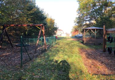
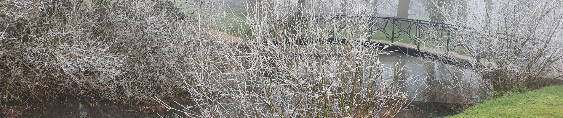
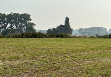
Jolie ballade familiale, en partie chemin aménagé en partie bois et terrain boueux en saison humide. Très joli et varié pour tous les ages ;)


Marche

A pied

Marche
Marche
Marche
Marche
Marche
Marche