


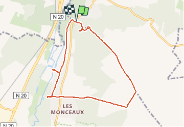

18,3 km | 22 km-effort


Utilisateur


Application GPS de randonnée GRATUITE
 SityTrail
IGN / Instituts géographiques
SityTrail World
Le monde est à vous
Randonnée Marche de 8,2 km à découvrir à Île-de-France, Essonne, Auvers-Saint-Georges. Cette randonnée est proposée par Lucquiaud.
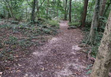
forêt départementale du Bois de la Barre avec les carrières de grès, le plateau et redescente sur le domaine de Jeurre, demeure de la Juine.

Marche

Marche

A pied

Marche

A pied
Marche
Marche
Marche
Marche